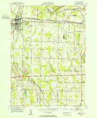
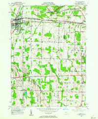
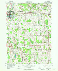
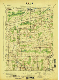
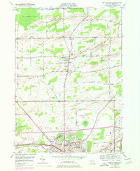
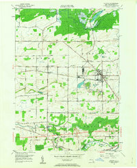
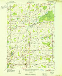
1950 Map of Le Roy
USGS Topo · Published 1952This historical map portrays the area of Le Roy in 1950, primarily covering Genesee County as well as portions of Monroe County and Livingston County. Featuring a scale of 1:24000, this map provides a highly detailed snapshot of the terrain, roads, buildings, counties, and historical landmarks in the Le Roy region at the time. Published in 1952, it is one of 4 known editions of this map due to revisions or reprints.
Find a feature on this map
41 named features on this map. Tap any name to fly to it.
Don’t see what you’re looking for? This feature index may not catch every label — zoom into the map to look around manually.
Map Details
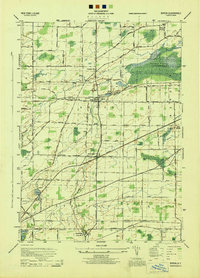
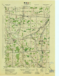
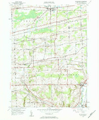
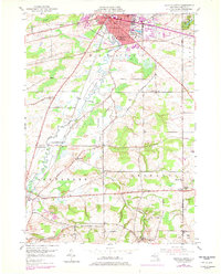
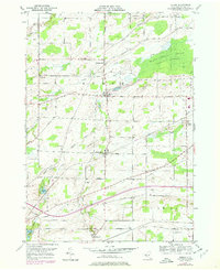
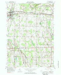
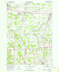
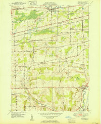
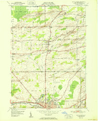
Editions of this 1950 Le Roy Map
4 editions found
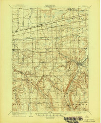
Historical Maps of Caledonia Through Time
17 maps found
1905 Attica
Genesee County, NY
1944 Alexander
Genesee County, NY
1944 Byron
Genesee County, NY

1944 Le Roy
Genesee County, NY
1944 Stafford
Genesee County, NY
1949 Alexander
Genesee County, NY

1949 Attica
Genesee County, NY
1950 Batavia North
Genesee County, NY
1950 Batavia South
Genesee County, NY
1950 Byron
Genesee County, NY
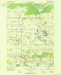
1950 Le Roy
Genesee County, NY
1950 Oakfield
Genesee County, NY
1950 Stafford
Genesee County, NY
1951 Alexander
Genesee County, NY
1951 Batavia North
Genesee County, NY
1952 Byron
Genesee County, NY
1952 Oakfield
Genesee County, NY