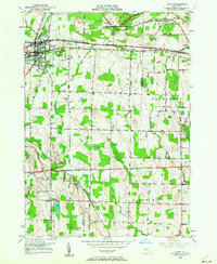
1950 Map of Le Roy
USGS Topo · Published 1964About this map
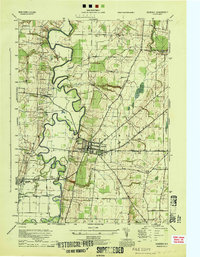
Oatka Creek and Mad Creek wind through this mid-century landscape where Genesee, Monroe, and Livingston counties converge. The village of Le Roy serves as a primary hub, defined by its water infrastructure at the Le Roy Reservoir and several historic burial grounds including Machpelah Cemetery and St Francis Cemetery. The mapping reflects a heavy reliance on rail transportation during the post-war era, with the New York Central RR, Baltimore and Ohio RR, and Erie RR all traversing the countryside. Smaller hamlets like Limerock and Linwood are connected by a network of established local routes such as Black Street and Ellicott Road. Distinctive terrain features like Flint Hill and the broader Valley highlight the transition from agricultural plains to more varied topography, dotted with rural churches like St Anthony Church.
Find a feature on this map
56 named features on this map. Tap any name to fly to it.
Don’t see what you’re looking for? This feature index may not catch every label — zoom into the map to look around manually.
Map Details
Editions of this 1950 Le Roy Map
4 editions found
Other maps of this area

1897 · Albion
USGS Topo · 1:62,500

1899 · Brockport
USGS Topo · 1:62,500

1904 · Batavia
USGS Topo · 1:62,500

1904 · Caledonia
USGS Topo · 1:62,500

1934 · Clifton
USGS Topo · 1:24,000

1935 · Churchville
USGS Topo · 1:24,000
1944 · Geneseo
USGS Topo · 1:31,680

1944 · Churchville
USGS Topo · 1:31,680

1944 · Byron
USGS Topo · 1:31,680

1944 · Stafford
USGS Topo · 1:31,680