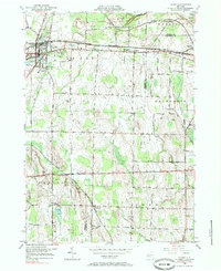
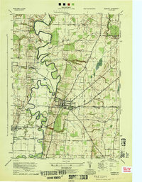
1950 Map of Le Roy
USGS Topo · Published 1985About this map
Oatka Creek carves a path through the northern landscape of this region, which was a vital crossroads for major rail lines in the mid-20th century. The intricate web of the Lehigh Valley, Baltimore and Ohio RR, and New York Central RR demonstrates the heavy industrial and transport reliance of the era, connecting Le Roy and Caledonia to the broader New York commerce network. South of the main settlements, the land transitions to a survey of rural roads and scattered homesteads, punctuated by family and community landmarks.
Find a feature on this map
68 named features on this map. Tap any name to fly to it.
Don’t see what you’re looking for? This feature index may not catch every label — zoom into the map to look around manually.
Map Details
Editions of this 1950 Le Roy Map
4 editions found
Other maps of this area

1897 · Albion
USGS Topo · 1:62,500

1899 · Brockport
USGS Topo · 1:62,500

1904 · Batavia
USGS Topo · 1:62,500

1904 · Caledonia
USGS Topo · 1:62,500

1934 · Clifton
USGS Topo · 1:24,000

1935 · Churchville
USGS Topo · 1:24,000
1944 · Geneseo
USGS Topo · 1:31,680

1944 · Churchville
USGS Topo · 1:31,680

1944 · Byron
USGS Topo · 1:31,680

1944 · Stafford
USGS Topo · 1:31,680