
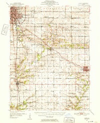
1951 Map of Le Roy
USGS Topo · Published 1952About this map
Bloomington and Normal anchor the northwest corner of this mid-century survey, but the landscape quickly shifts to the rural townships of Old Town, Empire, and Randolph. The map reveals a highly structured agricultural and transport corridor, where the New York Central and Illinois Central railroads stitch together small trading hubs like Le Roy and Heyworth. A glimpse into the changing rural education system is visible through the many schoolhouses transitioning out of use, such as the Prairie Union Sch (Abandoned) and Imperial Sch (Abandoned).
Find a feature on this map
71 named features on this map. Tap any name to fly to it.
Don’t see what you’re looking for? This feature index may not catch every label — zoom into the map to look around manually.
Map Details
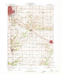
Editions of this 1951 Le Roy Map
3 editions found
Other maps of this area

1926 · Normal
USGS Topo · 1:62,500

1927 · Danvers
USGS Topo · 1:62,500

1930 · Danvers
USGS Topo · 1:62,500

1930 · Normal
USGS Topo · 1:62,500

1937 · Monticello
USGS Topo · 1:48,000

1943 · Monticello
USGS Topo · 1:62,500

1949 · Mc Lean
USGS Topo · 1:62,500

1951 · McLean
USGS Topo · 1:62,500

1952 · Arrowsmith
USGS Topo · 1:62,500

1957 · Kenney
USGS Topo · 1:62,500