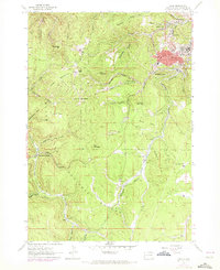
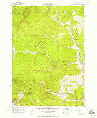
1961 Map of Lead
USGS Topo · Published 1972About this map
Lead dominates the northeastern corner of this landscape, its industrial character marked by the Bald Mountain Mine and the surrounding worker settlements of Terraville and Central City. The mountainous terrain of the Black Hills National Forest is defined by high elevations like Terry Peak and Sugarloaf Mountain, where infrastructure such as a Radio Tower and Lookout Tower occupy the summits. The region's development is closely tied to its resources, shown by the complex network of water features including an Aqueduct and numerous gulches such as Sawpit Gulch and Nevada Gulch.
Find a feature on this map
66 named features on this map. Tap any name to fly to it.
Don’t see what you’re looking for? This feature index may not catch every label — zoom into the map to look around manually.
Map Details
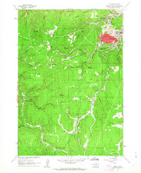
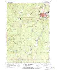
Editions of this 1961 Lead Map
Other maps of this area

1894 · Deadwood
USGS Topo · 1:125,000

1899 · Sturgis
USGS Topo · 1:62,500

1900 · Spearfish
USGS Topo · 1:62,500

1901 · Deadwood
USGS Topo · 1:125,000

1915 · Spearfish
USGS Topo · 1:62,500

1915 · Sturgis
USGS Topo · 1:62,500

1916 · Deadwood
USGS Topo · 1:125,000

1953 · Rapid City
USGS Topo · 1:250,000
1956 · Crooks Tower
USGS Topo · 1:24,000
1956 · Nahant
USGS Topo · 1:24,000