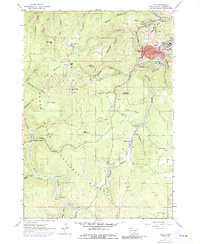
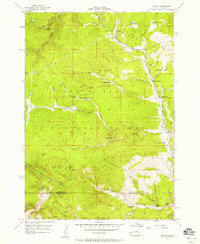
1961 Map of Lead
USGS Topo · Published 1986About this map
The gold-mining center of Lead dominates this 1961 landscape, surrounded by high-altitude settlements and industrial infrastructure in the Black Hills National Forest. The map documents a dense concentration of mining activity, including the Bald Mountain Mine near Trojan and the Gravel Pit in Ruby Flats. Industrial transport is a primary feature, with the Burlington Northern railroad and several aqueduct lines winding through the steep gulches to support the operations at Terraville and Central City. Higher elevations like Terry Peak and Deer Mountain are marked with lookouts and radio towers, while the valleys show the social side of the mining era through the Nevada Gulch Sch, St Patricks Sch, and the Englewood Cemetery. This survey captures the region just as it was being updated for the early 1970s, reflecting a landscape where heavy industry and forest preservation coexist.
Find a feature on this map
64 named features on this map. Tap any name to fly to it.
Don’t see what you’re looking for? This feature index may not catch every label — zoom into the map to look around manually.
Map Details
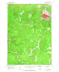
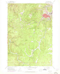
Editions of this 1961 Lead Map
Other maps of this area

1894 · Deadwood
USGS Topo · 1:125,000

1899 · Sturgis
USGS Topo · 1:62,500

1900 · Spearfish
USGS Topo · 1:62,500

1901 · Deadwood
USGS Topo · 1:125,000

1915 · Spearfish
USGS Topo · 1:62,500

1915 · Sturgis
USGS Topo · 1:62,500

1916 · Deadwood
USGS Topo · 1:125,000

1953 · Rapid City
USGS Topo · 1:250,000
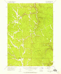
1956 · Crooks Tower
USGS Topo · 1:24,000
1956 · Nahant
USGS Topo · 1:24,000