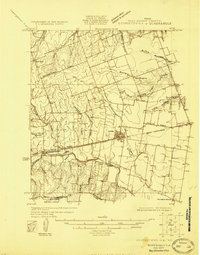
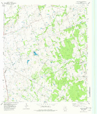
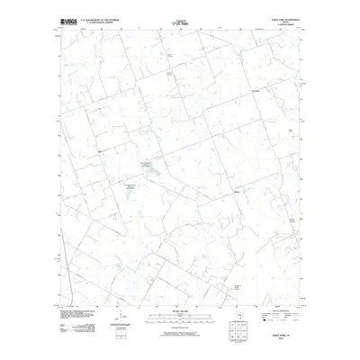
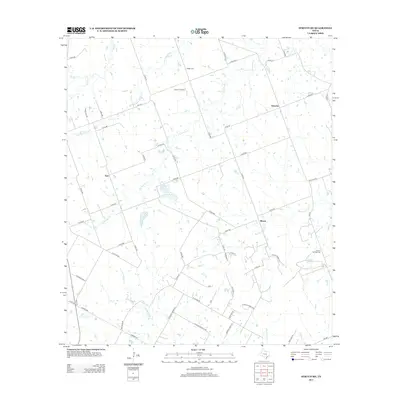
1962 Map of Leander NE
USGS Topo · Published 1980About this map
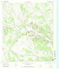
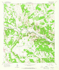
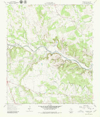
The North Fork San Gabriel River carves through this Williamson County landscape, a terrain defined by deep hollows and creek branches during the early 1960s. Small rural communities and crossroad settlements like Seward Junction and Rock House anchor the local geography, connected by the Jim Hogg Road. The map reveals a high concentration of family and community history markers, including the Union Hall Ch and Union Chapel, alongside several distinct burial sites such as the Rocky Hollow Cem, Hunt Cem, and Bullion Cem. The topography is shaped by water, featuring numerous named drainages like Rocky Hollow and Bullion Hollow, and unique landmarks such as Crockett Gardens Spring. River access was clearly vital to the local movement of the era, as evidenced by established fords like Hunt Crossing and Russell Crossing.
Find a feature on this map
36 named features on this map. Tap any name to fly to it.
Don’t see what you’re looking for? This feature index may not catch every label — zoom into the map to look around manually.
Map Details
Editions of this 1962 Leander NE Map
4 editions found
Historical Maps of Georgetown Through Time
26 maps found
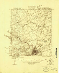
1925 Georgetown 4-b
Williamson County, TX
1925 Georgetown 4-d
Williamson County, TX
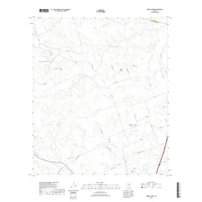
1962 Leander NE
Williamson County, TX
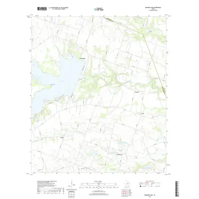
1963 Granger Lake
Williamson County, TX
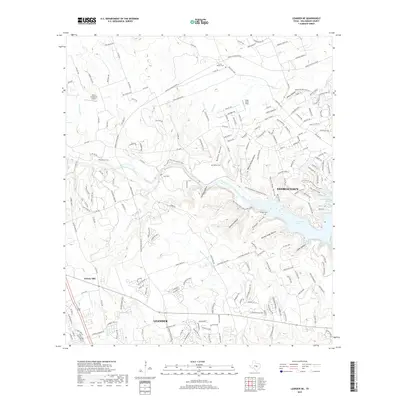
1964 Cobbs Cavern
Williamson County, TX
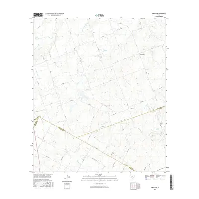
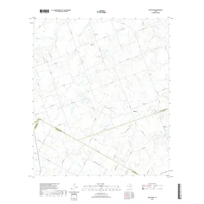
1982 Structure
Williamson County, TX
2010 Cobbs Cavern
Williamson County, TX
2010 Granger Lake
Williamson County, TX
2010 Leander NE
Williamson County, TX
2010 Structure
Williamson County, TX
2013 Cobbs Cavern
Williamson County, TX
2013 Granger Lake
Williamson County, TX
2013 Leander NE
Williamson County, TX
2013 Structure
Williamson County, TX
2016 Cobbs Cavern
Williamson County, TX
2016 Granger Lake
Williamson County, TX
2016 Leander NE
Williamson County, TX
2016 Structure
Williamson County, TX
2019 Cobbs Cavern
Williamson County, TX
2019 Granger Lake
Williamson County, TX
2019 Leander NE
Williamson County, TX
2019 Structure
Williamson County, TX
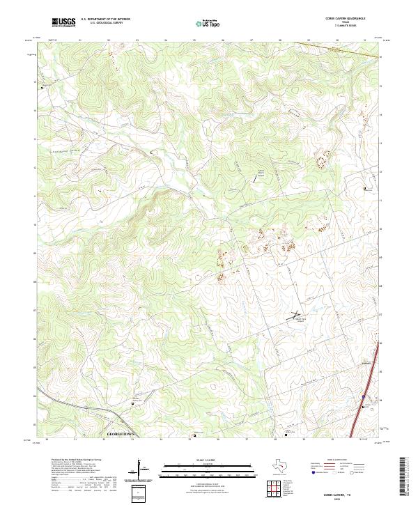
2022 Cobbs Cavern
Williamson County, TX
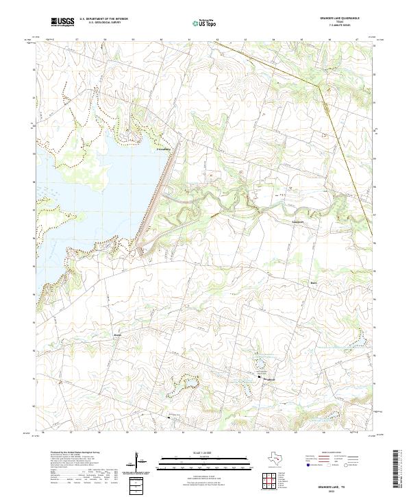
2022 Granger Lake
Williamson County, TX
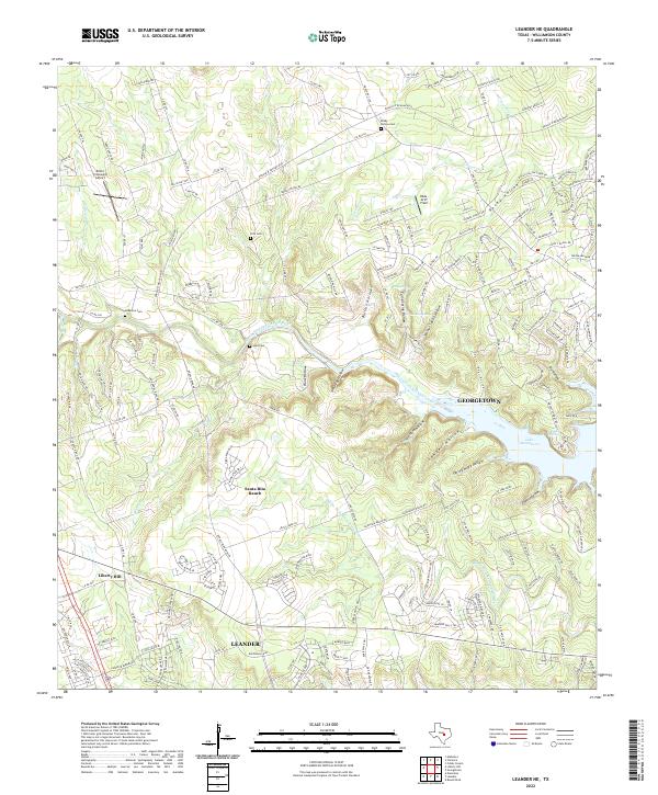
2022 Leander NE
Williamson County, TX
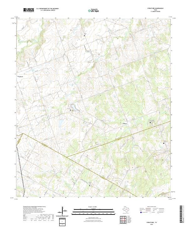
2022 Structure
Williamson County, TX