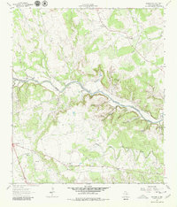
1962 Map of Leander NE
USGS Topo · Published 1980About this map
The North Fork San Gabriel River carves a winding path through this 1962 landscape, joined by the Middle Fork San Gabriel River in a territory defined by deep hollows and active spring systems. The rural character of this Williamson County area is evident in the network of family-named landmarks and cemeteries, including the Anderson Cem and Sawyer Cem. At Seward Junction, the convergence of local roads marks a small node of activity near Union Hall Ch, while further north, the Rock House settlement sits near the river's edge. Water sources are abundant, from the well-known Crockett Gardens Spring to Walnut Spring and Camp Spring. The map captures a moment when land use was a mix of traditional ranching and early gravel extraction, as seen at the various Gravel Pits scattered across the lower elevations near Upton Chapel.
Find a feature on this map
36 named features on this map. Tap any name to fly to it.
Don’t see what you’re looking for? This feature index may not catch every label — zoom into the map to look around manually.
Map Details
Editions of this 1962 Leander NE Map
4 editions found
Other maps of this area

1893 · Georgetown
USGS Topo · 1:125,000

1925 · Georgetown 4-b
USGS Topo · 1:48,000

1928 · Round Rock
USGS Topo · 1:62,500

1949 · Round Rock
USGS Topo · 1:62,500

1951 · Round Rock
USGS Topo · 1:62,500

1954 · Austin
USGS Topo · 1:250,000
1962 · Liberty Hill
USGS Topo · 1:24,000
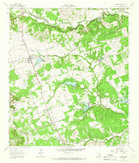
1962 · Leander
USGS Topo · 1:24,000
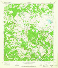
1962 · Nameless
USGS Topo · 1:24,000
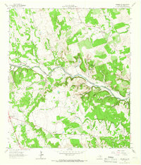
1962 · Leander NE
USGS Topo · 1:24,000