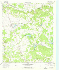
1962 Map of Leander
USGS Topo · Published 1978About this map
Leander sits at the heart of this Central Texas landscape, characterized in the early 1960s by its connection to the Southern Pacific railroad and the convergence of several major creek systems. The survey reveals a network of small, scattered communities like Walkerton, White Stone, and Cedar Park along the 183 corridor. The rural social fabric is visible through landmarks such as the Independent School and New Hope Ch, alongside numerous family-named burial grounds including Bagdad Cem and Upchurch Cem. Much of the economy appears tied to the land, with several Quarries and Gravel Pit operations dotting the terrain. The northern portion is defined by the winding course of the South Fork San Gabriel River, while the southern reaches are drained by Brushy Creek and its many tributaries, including Spanish Oak Creek and Cluck Creek.
Find a feature on this map
28 named features on this map. Tap any name to fly to it.
Don’t see what you’re looking for? This feature index may not catch every label — zoom into the map to look around manually.
Map Details
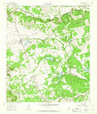
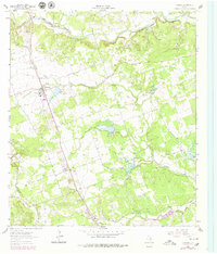
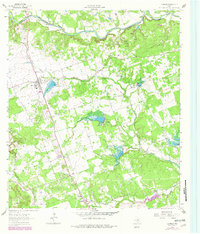
Editions of this 1962 Leander Map
4 editions found
Other maps of this area

1893 · Georgetown
USGS Topo · 1:125,000

1896 · Austin
USGS Topo · 1:125,000

1897 · Austin
USGS Topo · 1:125,000

1910 · Austin
USGS Topo · 1:125,000

1925 · Georgetown 4-b
USGS Topo · 1:48,000

1928 · Round Rock
USGS Topo · 1:62,500

1930 · Austin-2
USGS Topo · 1:48,000

1932 · Mt. Bonnell
USGS Topo · 1:62,500

1949 · Round Rock
USGS Topo · 1:62,500

1951 · Round Rock
USGS Topo · 1:62,500