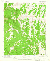
1963 Map of Leandro Canyon
USGS Topo · Published 1966About this map
The Carson National Forest landscape in northern New Mexico is defined by a series of prominent high-altitude plateaus and deeply cut drainage systems. This mid-1960s terrain study highlights the rugged geography of La Jara Mesa, Devils Mesa, and Chosa Mesa, which dominate the central and southern portions of the quadrangle. The topography is marked by a complex network of arroyos and canyons, including the significant Vaqueros Canyon and La Jara Canyon.
Find a feature on this map
32 named features on this map. Tap any name to fly to it.
Don’t see what you’re looking for? This feature index may not catch every label — zoom into the map to look around manually.
Map Details
Editions of this 1963 Leandro Canyon Map
Other maps of this area

1889 · Largo
USGS Topo · 1:250,000

1895 · Largo
USGS Topo · 1:250,000

1954 · Aztec
USGS Topo · 1:250,000

1958 · Aztec
USGS Topo · 1:250,000

1962 · Aztec
USGS Topo · 1:250,000
1963 · Espinosa Ranch
USGS Topo · 1:24,000

1963 · Gobernador
USGS Topo · 1:24,000
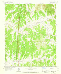
1963 · Cement Lake
USGS Topo · 1:24,000
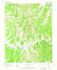
1963 · John Mills Lake
USGS Topo · 1:24,000
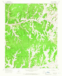
1963 · Pine Lake
USGS Topo · 1:24,000