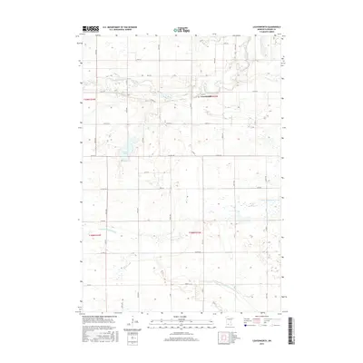
2016 Map of Leavenworth
USGS Topo · Published 2016About this map
Leavenworth stands on the banks of the Cottonwood River in Brown County, serving as a focal point for a landscape defined by its river valleys and expansive agricultural sections. The map reveals the hydrology of south-central Minnesota, featuring the winding course of the Little Cottonwood River and the prominent Altermatt Lake. A dense network of township roads and county highways, including Co Hwy 100 and Co Rd 24, illustrates the established rural grid that supports the region's farming economy. The presence of County Ditch Number Twentyeight-one indicates the significant modification of the natural drainage systems to manage the local water table for cultivation. This survey provides a clear view of the relationship between the prairie settlements and the natural waterways that first drew settlers to the area.
Find a feature on this map
41 named features on this map. Tap any name to fly to it.
Don’t see what you’re looking for? This feature index may not catch every label — zoom into the map to look around manually.
Map Details
Editions of this 2016 Leavenworth Map
This is the sole edition of this map. No revisions or reprints were ever made.
Other maps of this area

1953 · Morgan
USGS Topo · 1:62,500

1953 · New Ulm
USGS Topo · 1:250,000

1957 · New Ulm
USGS Topo · 1:250,000

1958 · New Ulm
USGS Topo · 1:250,000

1964 · Sleepy Eye
USGS Topo · 1:24,000

1967 · New Ulm
USGS Topo · 1:250,000

1967 · Lake Hanska West
USGS Topo · 1:24,000

1967 · Springfield
USGS Topo · 1:24,000

1967 · Godahl
USGS Topo · 1:24,000

1967 · Darfur
USGS Topo · 1:24,000