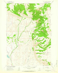
1960 Map of Leavitt Reservoir
USGS Topo · Published 1963About this map
Bighorn National Forest dominates the eastern elevation of this area, where the high terrain of Hunt Mountain meets the shelf of Horse Creek Mesa. The landscape is defined by a complex drainage system flowing westward, including Whaley Creek and Beaver Creek, which feed into the valley floor. Water management for local ranching is evident in features like the London Ditch and the storage at Leavitt Reservoir, which is held by a mapped dam near the southwestern corner. Settlement is sparse, anchored by the Leavitt Ranch situated along the lower reach of Beaver Creek. High-altitude landmarks such as Hudson Falls and the survey marker VABM 10162 Hudson provide specific points of reference for those tracing historical land use and early water engineering in Big Horn County.
Find a feature on this map
19 named features on this map. Tap any name to fly to it.
Don’t see what you’re looking for? This feature index may not catch every label — zoom into the map to look around manually.
Map Details
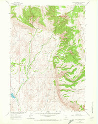
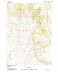
Editions of this 1960 Leavitt Reservoir Map
3 editions found
Other maps of this area

1898 · Bald Mountain
USGS Topo · 1:125,000

1901 · Bald Mountain
USGS Topo · 1:125,000

1955 · Sheridan
USGS Topo · 1:250,000

1958 · Sheridan
USGS Topo · 1:250,000

1960 · Black Mountain
USGS Topo · 1:24,000

1960 · Medicine Wheel
USGS Topo · 1:24,000

1960 · Hidden Tepee Creek
USGS Topo · 1:24,000

1960 · Devils Kitchen
USGS Topo · 1:24,000

1960 · Shell
USGS Topo · 1:24,000

1960 · Bear Creek Ranch
USGS Topo · 1:24,000