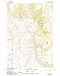
1960 Map of Leavitt Reservoir
USGS Topo · Published 1991About this map
Bighorn National Forest dominates the eastern landscape of this Big Horn County region, where the terrain rises sharply toward Hunt Mountain and the broad plateau of Horse Creek Mesa. In the lower western reaches, the Leavitt Ranch stands as a primary point of human settlement, situated near the headwaters of the branching Beaver Creek system, including North Beaver Creek and South Beaver Creek. The 1960 field check captures the early infrastructure of the Leavitt Reservoir and the London Ditch, highlighting the critical role of water management in this high-elevation environment. Numerous ephemeral drainages like Davis Draw and Fenton Draw feed into the larger creek networks, while Hudson Falls Creek and Red Canyon Creek carve through the steep slopes of the national forest boundary.
Find a feature on this map
18 named features on this map. Tap any name to fly to it.
Don’t see what you’re looking for? This feature index may not catch every label — zoom into the map to look around manually.
Map Details
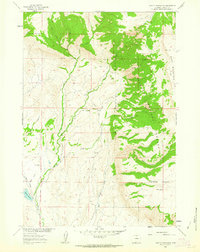
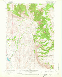
Editions of this 1960 Leavitt Reservoir Map
3 editions found
Other maps of this area

1898 · Bald Mountain
USGS Topo · 1:125,000

1901 · Bald Mountain
USGS Topo · 1:125,000

1955 · Sheridan
USGS Topo · 1:250,000

1958 · Sheridan
USGS Topo · 1:250,000

1960 · Black Mountain
USGS Topo · 1:24,000

1960 · Medicine Wheel
USGS Topo · 1:24,000

1960 · Hidden Tepee Creek
USGS Topo · 1:24,000

1960 · Devils Kitchen
USGS Topo · 1:24,000

1960 · Shell
USGS Topo · 1:24,000

1960 · Bear Creek Ranch
USGS Topo · 1:24,000