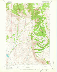
1960 Map of Leavitt Reservoir
USGS Topo · Published 1972About this map
Bighorn National Forest dominates the eastern half of this landscape, where the terrain rises sharply toward Hunt Mountain. This 1960 field-checked survey illustrates the transition from the high ridges of Horse Creek Mesa down to the drainage systems of the North Beaver Creek and South Beaver Creek. The irrigation and water management infrastructure of the era is evident in the western lowlands, anchored by Leavitt Reservoir and the London Ditch.
Find a feature on this map
21 named features on this map. Tap any name to fly to it.
Don’t see what you’re looking for? This feature index may not catch every label — zoom into the map to look around manually.
Map Details
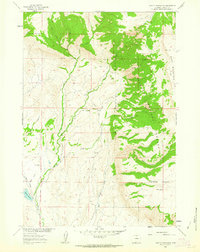
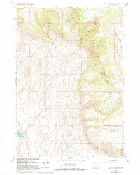
Editions of this 1960 Leavitt Reservoir Map
3 editions found
Other maps of this area

1898 · Bald Mountain
USGS Topo · 1:125,000

1901 · Bald Mountain
USGS Topo · 1:125,000

1955 · Sheridan
USGS Topo · 1:250,000

1958 · Sheridan
USGS Topo · 1:250,000

1960 · Black Mountain
USGS Topo · 1:24,000

1960 · Medicine Wheel
USGS Topo · 1:24,000

1960 · Hidden Tepee Creek
USGS Topo · 1:24,000

1960 · Devils Kitchen
USGS Topo · 1:24,000

1960 · Shell
USGS Topo · 1:24,000

1960 · Bear Creek Ranch
USGS Topo · 1:24,000