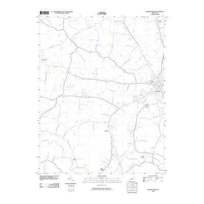
2010 Map of Lebanon West
USGS Topo · Published 2010About this map
Lebanon serves as the focal point for this Marion County study, where the town's western edges meet a landscape defined by meandering waterways and numerous historic burial grounds. The concentrated presence of the Lebanon National Cemetery, Saint Agustines Cemetery, and the Holy Name of Mary Cemetery reflects the deep-rooted community and military heritage of the region. The drainage network is particularly dense here, as Hardins Creek and its tributaries, such as Cissels Creek and Graham Branch, carve through the terrain before meeting the larger Rolling Fork in the south.
Find a feature on this map
45 named features on this map. Tap any name to fly to it.
Don’t see what you’re looking for? This feature index may not catch every label — zoom into the map to look around manually.
Map Details
Editions of this 2010 Lebanon West Map
This is the sole edition of this map. No revisions or reprints were ever made.
Other maps of this area

1952 · Bradfordsville
USGS Topo · 1:24,000

1953 · Loretto
USGS Topo · 1:24,000

1953 · Saloma
USGS Topo · 1:24,000

1953 · Saint Catharine
USGS Topo · 1:24,000

1953 · Lebanon East
USGS Topo · 1:24,000

1953 · Springfield
USGS Topo · 1:24,000

1953 · Raywick
USGS Topo · 1:24,000

1953 · Spurlington
USGS Topo · 1:24,000

1953 · Lebanon West
USGS Topo · 1:24,000

1953 · Bradfordsville
USGS Topo · 1:24,000