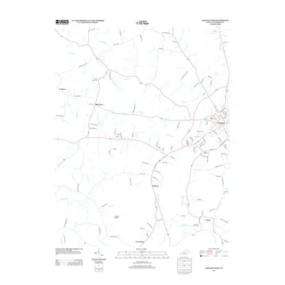
2013 Map of Lebanon West
USGS Topo · Published 2013About this map
The western outskirts of Lebanon transition into a landscape defined by rolling drainage basins and long-established crossroads. The Lebanon National Cem sits at the edge of the city, serving as a prominent landmark near the headwaters of Indian Lick Cr. To the west and south, the terrain is marked by rural clusters such as Saint Mary and Belltown, while the Rolling Fork winds through the southern portion of the region. This area is characterized by its numerous small waterways, including Hardins Cr and Cissels Cr, which have historically dictated the placement of early settlements and local roads.
Find a feature on this map
111 named features on this map. Tap any name to fly to it.
Don’t see what you’re looking for? This feature index may not catch every label — zoom into the map to look around manually.
Map Details
Editions of this 2013 Lebanon West Map
This is the sole edition of this map. No revisions or reprints were ever made.
Other maps of this area

1952 · Bradfordsville
USGS Topo · 1:24,000

1953 · Loretto
USGS Topo · 1:24,000

1953 · Saloma
USGS Topo · 1:24,000

1953 · Saint Catharine
USGS Topo · 1:24,000

1953 · Lebanon East
USGS Topo · 1:24,000

1953 · Springfield
USGS Topo · 1:24,000

1953 · Raywick
USGS Topo · 1:24,000

1953 · Spurlington
USGS Topo · 1:24,000

1953 · Lebanon West
USGS Topo · 1:24,000

1953 · Bradfordsville
USGS Topo · 1:24,000