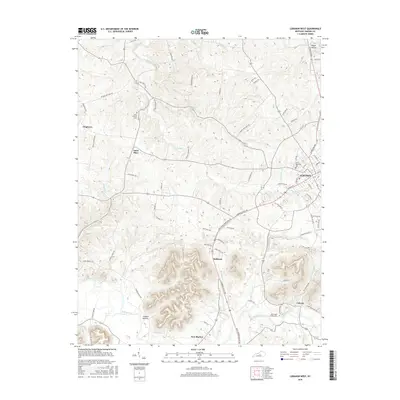
2016 Map of Lebanon West
USGS Topo · Published 2016About this map
Lebanon serves as the central hub of this Marion County landscape, where the confluence of several small waterways like Hardins Cr and Graham Br defined early settlement patterns. This 2016 survey documents a region deeply rooted in its Catholic heritage, evidenced by prominent sites such as Saint Mary and Saint Charles Cem. The terrain south of the city rises toward more prominent hills, where the Rolling Fork river snakes through the valley floor near New Market and Coopers Hollow. Small, established communities like Belltown, Calvary, and Frogtown are connected by a dense network of local roads such as Arthur Mattingly Rd and Raley Rd, reflecting a stable, rural residential layout that has persisted for generations. Researchers will find a detailed look at the drainage systems, including Pottinger Creek and Indian Lick Cr, which historically influenced the placement of farms and small hamlets across this central Kentucky quadrangle.
Find a feature on this map
82 named features on this map. Tap any name to fly to it.
Don’t see what you’re looking for? This feature index may not catch every label — zoom into the map to look around manually.
Map Details
Editions of this 2016 Lebanon West Map
This is the sole edition of this map. No revisions or reprints were ever made.
Other maps of this area

1952 · Bradfordsville
USGS Topo · 1:24,000

1953 · Loretto
USGS Topo · 1:24,000

1953 · Saloma
USGS Topo · 1:24,000

1953 · Saint Catharine
USGS Topo · 1:24,000

1953 · Lebanon East
USGS Topo · 1:24,000

1953 · Springfield
USGS Topo · 1:24,000

1953 · Raywick
USGS Topo · 1:24,000

1953 · Spurlington
USGS Topo · 1:24,000

1953 · Lebanon West
USGS Topo · 1:24,000

1953 · Bradfordsville
USGS Topo · 1:24,000