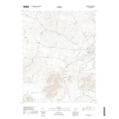
2019 Map of Lebanon West
USGS Topo · Published 2019About this map
The county seat of Lebanon serves as the focal point for this survey of central Kentucky's rolling landscape, where modern road networks intersect with long-established rural settlements. To the west, the community of Saint Mary and the nearby Saint Charles Cem reflect the area’s deep-rooted Catholic heritage. The terrain is defined by the winding course of the Rolling Fork river and its many tributaries, including Hardins Creek and Cissell Cr, which have carved out distinctive local landmarks like Coopers Hollow.
Find a feature on this map
101 named features on this map. Tap any name to fly to it.
Don’t see what you’re looking for? This feature index may not catch every label — zoom into the map to look around manually.
Map Details
Editions of this 2019 Lebanon West Map
This is the sole edition of this map. No revisions or reprints were ever made.
Other maps of this area

1952 · Bradfordsville
USGS Topo · 1:24,000

1953 · Loretto
USGS Topo · 1:24,000

1953 · Saloma
USGS Topo · 1:24,000

1953 · Saint Catharine
USGS Topo · 1:24,000

1953 · Lebanon East
USGS Topo · 1:24,000

1953 · Springfield
USGS Topo · 1:24,000

1953 · Raywick
USGS Topo · 1:24,000

1953 · Spurlington
USGS Topo · 1:24,000

1953 · Lebanon West
USGS Topo · 1:24,000

1953 · Bradfordsville
USGS Topo · 1:24,000