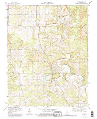
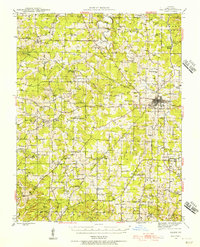
1992 Map of Lecoma
USGS Topo · Published 1995About this map
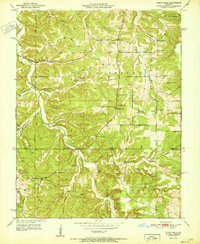
Schuman Ridge and the winding drainage of Dry Fork dominate this landscape in Phelps and Dent Counties. The area is defined by a rural network of small-scale agriculture and early industry, evidenced by the presence of Charcoal Ovens and several Quarries scattered throughout the hills. The community of Lecoma serves as a local hub, while the surrounding countryside is dotted with markers of early Ozark life, including Elk Prairie Sch and Spring Hill Sch. The subterranean geography is particularly notable here, with multiple named caverns like Castleman Cave, Skelton Cave, and McClure Cave cutting through the limestone. Along the Phelps and Dent County line, family-named sites such as Matlock Cem and Benton Cem provide significant points of interest for those tracing local genealogy and the distribution of mid-century homesteads.
Find a feature on this map
35 named features on this map. Tap any name to fly to it.
Don’t see what you’re looking for? This feature index may not catch every label — zoom into the map to look around manually.
Map Details
Editions of this 1992 Lecoma Map
This is the sole edition of this map. No revisions or reprints were ever made.
Other maps of this area
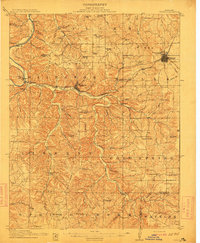
1912 · Rolla
USGS Topo · 1:62,500
1928 · Meramec Spring
USGS Topo · 1:62,500
1937 · Edgar Springs
USGS Topo · 1:48,000
1941 · Salem
USGS Topo · 1:62,500

1945 · Salem
USGS Topo · 1:62,500
1945 · Edgar Springs
USGS Topo · 1:62,500

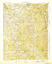
1949 · Rolla
USGS Topo · 1:250,000
1949 · Meramec Spring
USGS Topo · 1:62,500
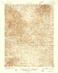
1950 · Yancy Mills
USGS Topo · 1:24,000
1951 · Yancy Mills
USGS Topo · 1:24,000