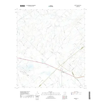
2019 Map of Ledbetter
USGS Topo · Published 2019About this map
Ledbetter sits at a crossroads of commerce and topography near the meeting point of Fayette, Lee, and Washington Counties. The landscape is defined by the dendritic drainage of Cummins Creek and its many tributaries, such as Flat Rock Cr and W Fork Cummins Cr, which carve through the central Texas terrain. Local transportation centers on E Austin St, while the Bar S Ranch Airport provides a specialized aviation link to the region.
Find a feature on this map
88 named features on this map. Tap any name to fly to it.
Don’t see what you’re looking for? This feature index may not catch every label — zoom into the map to look around manually.
Map Details
Editions of this 2019 Ledbetter Map
This is the sole edition of this map. No revisions or reprints were ever made.
Other maps of this area

1919 · Giddings
USGS Topo · 1:62,500

1919 · Dime Box
USGS Topo · 1:62,500

1954 · Austin
USGS Topo · 1:250,000

1956 · Somerville
USGS Topo · 1:62,500

1958 · Ledbetter
USGS Topo · 1:24,000
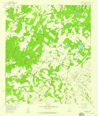
1958 · Nechanitz
USGS Topo · 1:24,000

1958 · Carmine
USGS Topo · 1:24,000
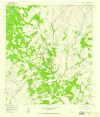
1958 · Round Top
USGS Topo · 1:24,000
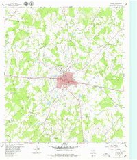
1958 · Giddings
USGS Topo · 1:24,000

1959 · Flag Pond
USGS Topo · 1:24,000