
1947 Map of Lee Fire Tower
USGS Topo · Published 1954About this map
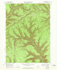
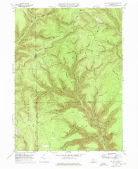
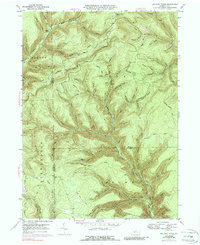
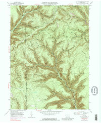
The Lee Fire Tower overlooks a landscape defined by deep valleys and the convergence of several major forest tracts in the Pennsylvania wilds. During this late-1940s survey, the area was dominated by the intersection of Abbott, Elk, Stewardson, and Brown townships, marking the meeting point of Tioga, Potter, and Lycoming counties. The drainage network is particularly dense here, featuring the headwaters of Kettle Creek and the long, winding course of Francis Branch.
Find a feature on this map
72 named features on this map. Tap any name to fly to it.
Don’t see what you’re looking for? This feature index may not catch every label — zoom into the map to look around manually.
Map Details
Editions of this 1947 Lee Fire Tower Map
5 editions found
Other maps of this area

1937 · Waterville
USGS Topo · 1:48,000

1943 · Hyner
USGS Topo · 1:62,500

1943 · Waterville
USGS Topo · 1:62,500

1946 · Young Womans Creek
USGS Topo · 1:24,000

1946 · Tiadaghton
USGS Topo · 1:24,000

1946 · Antrim
USGS Topo · 1:62,500

1946 · Renovo East
USGS Topo · 1:62,500

1946 · Cedar Run
USGS Topo · 1:24,000

1946 · Slate Run
USGS Topo · 1:24,000

1947 · Galeton
USGS Topo · 1:62,500