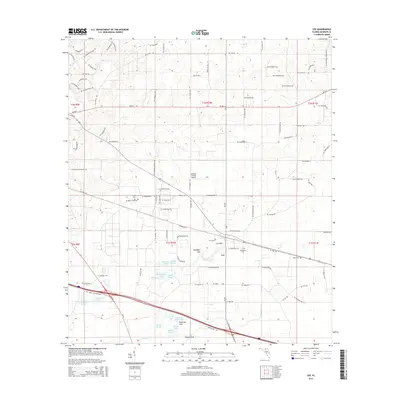
2015 Map of Lee
USGS Topo · Published 2015About this map
The town of Lee serves as the focal point for this Madison County survey, where the intersection of local roads and rail lines defines the community's layout. The landscape is notably punctuated by numerous geological depressions and water bodies, a characteristic of the regional karst topography. Prominent among these are Lee Sink, Campbell Sink, and Peterson Sink, alongside several larger named ponds and lakes such as Booze Lake and Riggins Lake. These features, along with Norton Cr, illustrate the complex drainage patterns of the area.
Find a feature on this map
96 named features on this map. Tap any name to fly to it.
Don’t see what you’re looking for? This feature index may not catch every label — zoom into the map to look around manually.
Map Details
Editions of this 2015 Lee Map
This is the sole edition of this map. No revisions or reprints were ever made.
Other maps of this area

1954 · Valdosta
USGS Topo · 1:250,000

1956 · Octahatchee
USGS Topo · 1:24,000

1958 · Valdosta
USGS Topo · 1:250,000

1958 · Madison SW
USGS Topo · 1:24,000

1958 · Madison SE
USGS Topo · 1:24,000

1958 · Lee
USGS Topo · 1:24,000

1959 · Valdosta
USGS Topo · 1:250,000

1959 · Madison
USGS Topo · 1:24,000

1959 · Ellaville
USGS Topo · 1:24,000

1959 · Falmouth
USGS Topo · 1:24,000