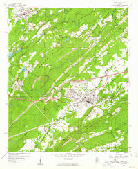
1959 Map of Leeds
USGS Topo · Published 1960About this map
Leeds and Trussville anchor this late-1950s landscape, where industrial activity and transportation networks are deeply etched into the geography of the Cahaba Valley. The presence of numerous extraction sites, including a Quarry, Chert Pits, and a Strip Mine south of Maplewood, signals a region shaped by its geology. The industrial character is further emphasized by the concentration of Brick Kilns and the Leeds Mineral Well, while the winding Cahaba River and Little Cahaba River cut through the prominent ridges of Owens Mountain and Blackjack Ridge.
Find a feature on this map
80 named features on this map. Tap any name to fly to it.
Don’t see what you’re looking for? This feature index may not catch every label — zoom into the map to look around manually.
Map Details
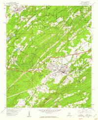
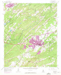
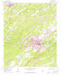
Editions of this 1959 Leeds Map
4 editions found
Other maps of this area

1889 · Springville
USGS Topo · 1:125,000

1889 · Birmingham
USGS Topo · 1:125,000

1890 · Bessemer
USGS Topo · 1:125,000

1890 · Talladega
USGS Topo · 1:125,000

1892 · Birmingham
USGS Topo · 1:125,000

1892 · Springville
USGS Topo · 1:125,000

1892 · Talladega
USGS Topo · 1:125,000

1892 · Bessemer
USGS Topo · 1:125,000

1895 · Birmingham
USGS Topo · 1:125,000

1905 · Leeds
USGS Topo · 1:62,500