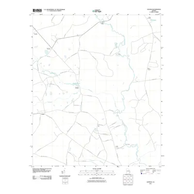
2011 Map of Leefield
USGS Topo · Published 2011About this map
The Ogeechee River meanders through this portion of Bulloch County, defining a landscape of wetlands and landings like Gobar Landing and Lane Landing. The settlement of Leefield sits at the junction of Stilson Leefield Rd and Brooklet Leefield Rd, serving as a central point for a network of rural roads such as Old River Rd S and Old Louisville Rd. This 2011 survey captures a region where water management is evident in features like the Sheppard Lake Dam and the Stokes Lake Dam. For those tracing local heritage, the map identifies several burial grounds including New Hope Cemetery, Mount Zion Cemetery, Silas Morton Cemetery, and Knight Cemetery. The terrain is characterized by numerous small water bodies and creeks, including Mill Creek, Spring Creek, and Lanes Creek, which create a complex hydrological pattern across the agricultural and timbered lands.
Find a feature on this map
61 named features on this map. Tap any name to fly to it.
Don’t see what you’re looking for? This feature index may not catch every label — zoom into the map to look around manually.
Map Details
Editions of this 2011 Leefield Map
This is the sole edition of this map. No revisions or reprints were ever made.
Other maps of this area

1918 · Oliver
USGS Topo · 1:62,500

1919 · Shirley
USGS Topo · 1:62,500

1919 · Egypt
USGS Topo · 1:62,500

1920 · Oliver
USGS Topo · 1:62,500

1921 · Brooklet
USGS Topo · 1:62,500

1939 · Egypt
USGS Topo · 1:62,500

1943 · Brooklet
USGS Topo · 1:62,500

1943 · Egypt
USGS Topo · 1:62,500

1943 · Shirley
USGS Topo · 1:62,500

1943 · Millen
USGS Topo · 1:125,000