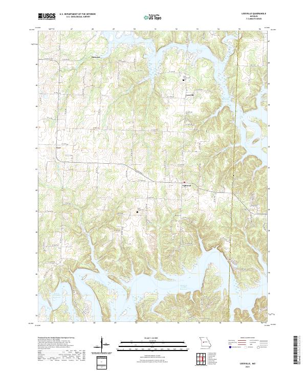
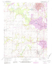
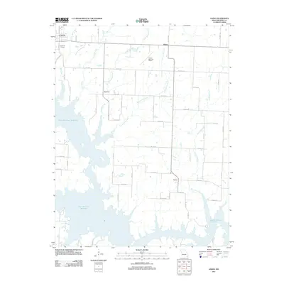
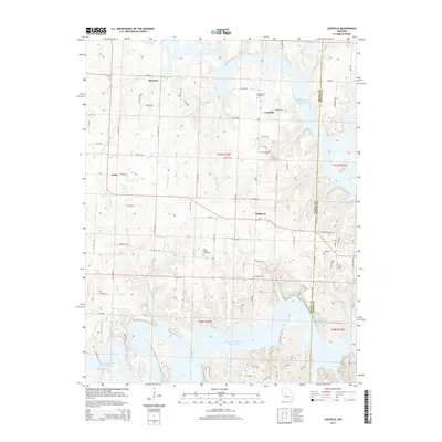
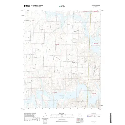
2021 Map of Leesville
USGS Topo · Published 2021About this map
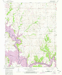
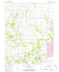
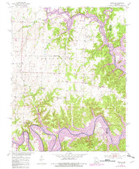
Leesville and the uniquely named settlement of Tightwad anchor this landscape along the border of Henry and Benton counties. The terrain is defined by the expansive reaches of the Harry S Truman Reservoir, which fills the deep valleys and creates a complex shoreline around elevated ridges. This modern survey illustrates the rural character of the region, where historic community centers like Coal and Hortense are connected by a network of local roads such as S East Highway 7 and NE Hwy PP. For those researching local heritage, the map identifies specific burial sites including Tebo Church Cem and Parks Chapel Cem. Numerous tributaries, including Mound Springs Cr and White Oak Cr, feed into the reservoir, tracing the natural drainage patterns that have shaped land use in this part of Missouri for generations.
Find a feature on this map
81 named features on this map. Tap any name to fly to it.
Don’t see what you’re looking for? This feature index may not catch every label — zoom into the map to look around manually.
Map Details
Editions of this 2021 Leesville Map
This is the sole edition of this map. No revisions or reprints were ever made.
Historical Maps of Leesville Through Time
35 maps found
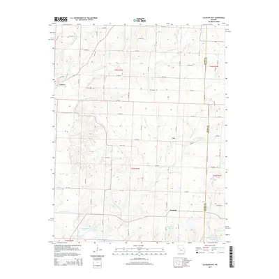
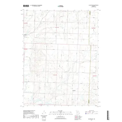
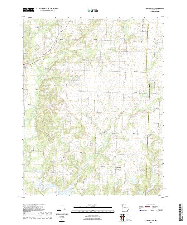
1953 Calhoun East
Henry County, MO
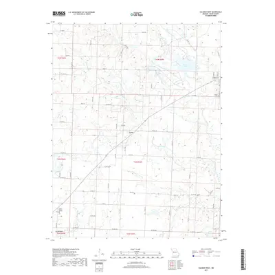
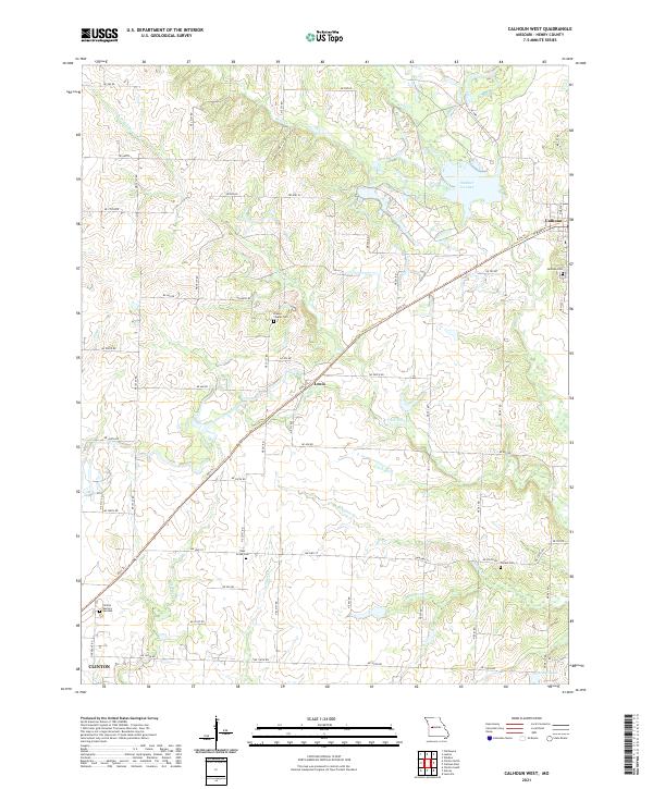
1953 Calhoun West
Henry County, MO
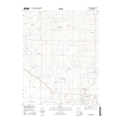
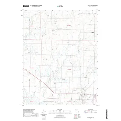
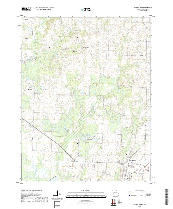
1953 Clinton North
Henry County, MO
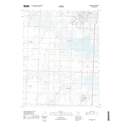
1953 Clinton South
Henry County, MO
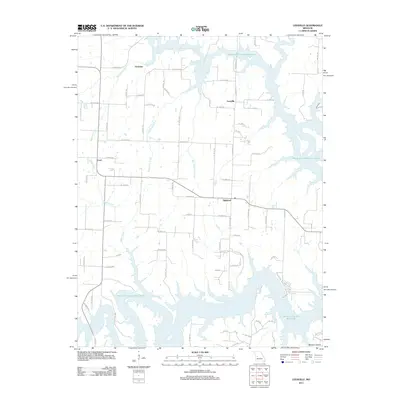
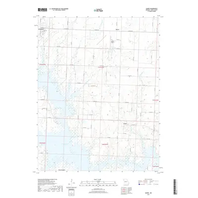
1953 Gaines
Henry County, MO
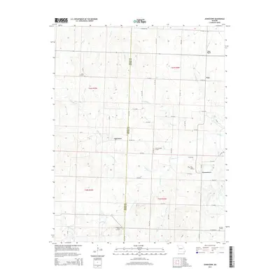
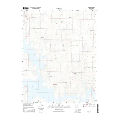
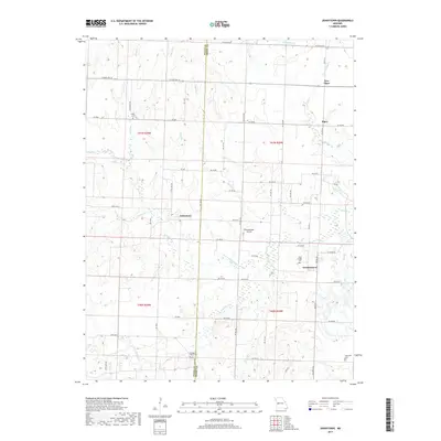
1953 Johnstown
Henry County, MO
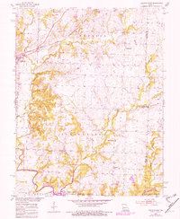
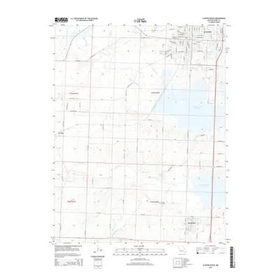
1953 Leesville
Henry County, MO
2011 Calhoun East
Henry County, MO
2011 Calhoun West
Henry County, MO
2011 Clinton North
Henry County, MO
2011 Clinton South
Henry County, MO
2011 Gaines
Henry County, MO
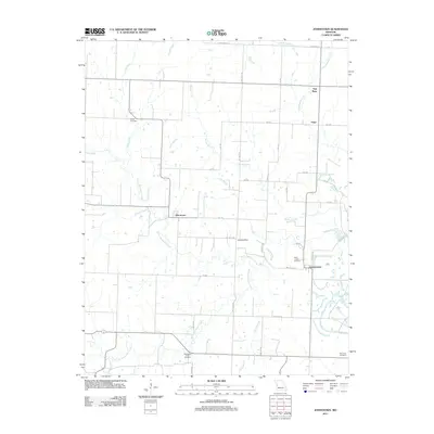
2011 Johnstown
Henry County, MO
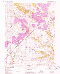
2011 Leesville
Henry County, MO
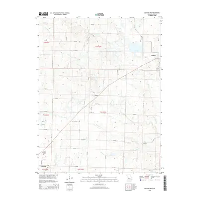
2014 Calhoun West
Henry County, MO
2014 Johnstown
Henry County, MO
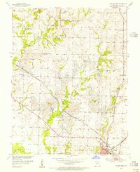
2014 Leesville
Henry County, MO
2015 Calhoun East
Henry County, MO
2015 Clinton North
Henry County, MO
2015 Clinton South
Henry County, MO
2015 Gaines
Henry County, MO
2017 Calhoun East
Henry County, MO
2017 Calhoun West
Henry County, MO
2017 Clinton North
Henry County, MO
2017 Clinton South
Henry County, MO
2017 Gaines
Henry County, MO
2017 Johnstown
Henry County, MO
2017 Leesville
Henry County, MO
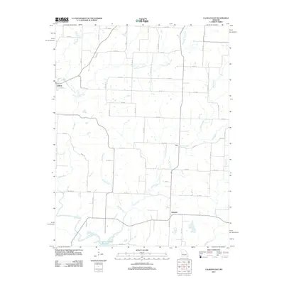
2021 Calhoun East
Henry County, MO
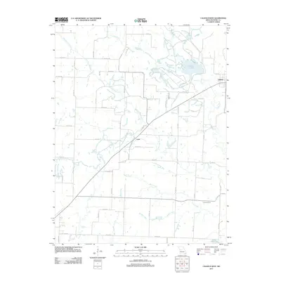
2021 Calhoun West
Henry County, MO
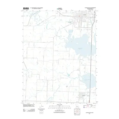
2021 Clinton North
Henry County, MO
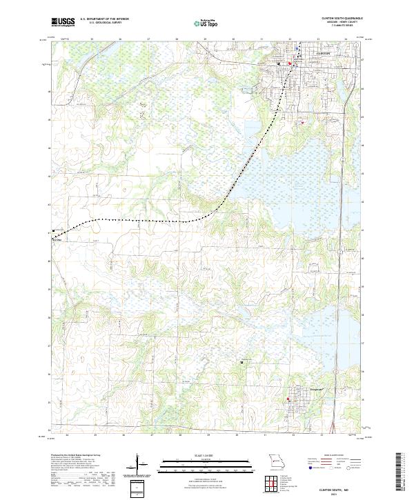
2021 Clinton South
Henry County, MO
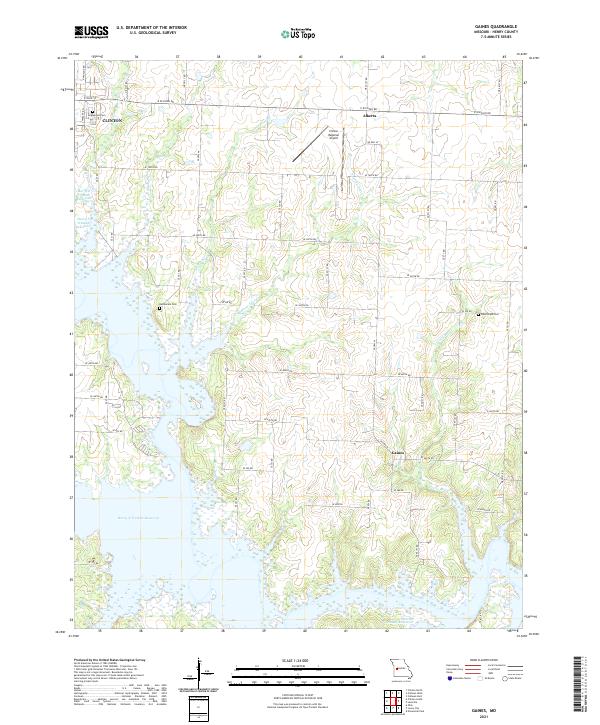
2021 Gaines
Henry County, MO
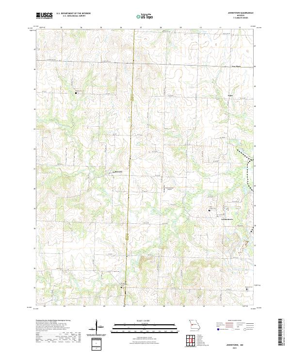
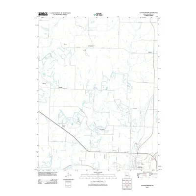
2021 Johnstown
Henry County, MO
2021 Leesville
Henry County, MO