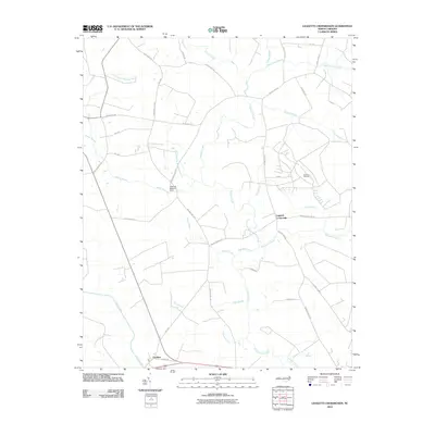
2010 Map of Leggetts Crossroads
USGS Topo · Published 2010About this map
Tranters Creek winds through a landscape defined by extensive lowlands and small community junctions in this 2010 depiction of eastern North Carolina. The settlement of Leggetts Crossroads sits at the center of a network of rural routes, including Cherry Run Rd and Wards Bridge Rd, serving as a primary local orientation point. To the south, the village of Pactolus occupies the bank near Grindle Creek, marking the southern extent of the surveyed area.
Find a feature on this map
38 named features on this map. Tap any name to fly to it.
Don’t see what you’re looking for? This feature index may not catch every label — zoom into the map to look around manually.
Map Details
Editions of this 2010 Leggetts Crossroads Map
This is the sole edition of this map. No revisions or reprints were ever made.
Other maps of this area

1901 · Parmele
USGS Topo · 1:62,500

1901 · Williamston
USGS Topo · 1:62,500

1902 · Williamston
USGS Topo · 1:62,500

1902 · Parmele
USGS Topo · 1:62,500

1903 · Winterville
USGS Topo · 1:62,500

1903 · Chocowinity
USGS Topo · 1:62,500

1905 · Chocowinity
USGS Topo · 1:62,500

1905 · Winterville
USGS Topo · 1:62,500

1951 · Washington
USGS Topo · 1:24,000

1953 · Rocky Mount
USGS Topo · 1:250,000