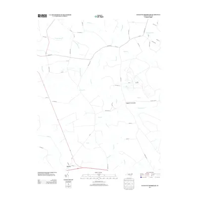
2013 Map of Leggetts Crossroads
USGS Topo · Published 2013About this map
Tranters Cr and its many meandering tributaries define this coastal plain landscape in Beaufort County. The map details a low-lying region dominated by sprawling wetlands and named drainages such as Bear Grass Swamp, Briery Swamp, and Horsepen Swamp. These natural features have long shaped local land use, with settlements like Leggetts Crossroads and Pactolus situated on slightly higher ground or near key road junctions.
Find a feature on this map
55 named features on this map. Tap any name to fly to it.
Don’t see what you’re looking for? This feature index may not catch every label — zoom into the map to look around manually.
Map Details
Editions of this 2013 Leggetts Crossroads Map
This is the sole edition of this map. No revisions or reprints were ever made.
Other maps of this area

1901 · Parmele
USGS Topo · 1:62,500

1901 · Williamston
USGS Topo · 1:62,500

1902 · Williamston
USGS Topo · 1:62,500

1902 · Parmele
USGS Topo · 1:62,500

1903 · Winterville
USGS Topo · 1:62,500

1903 · Chocowinity
USGS Topo · 1:62,500

1905 · Chocowinity
USGS Topo · 1:62,500

1905 · Winterville
USGS Topo · 1:62,500

1951 · Washington
USGS Topo · 1:24,000

1953 · Rocky Mount
USGS Topo · 1:250,000