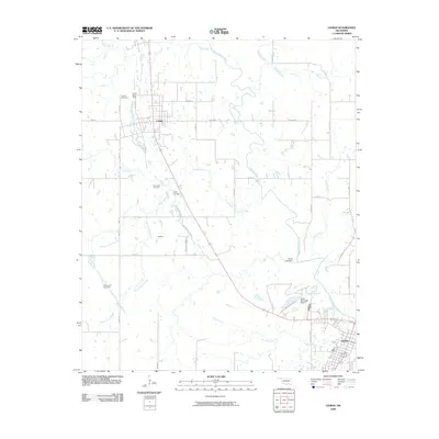
2010 Map of Lehigh
USGS Topo · Published 2010About this map
Lehigh and its industrial surroundings define this area of Atoka County at the dawn of the 21st century. The map illustrates a landscape shaped by coal extraction, with the Lehigh Strip Mine and Hickory Hill Strip Mine situated near the headwaters of Coal Creek and French Henry Creek. This terrain is deeply connected to its earlier mining roots, as evidenced by the presence of both the Lehigh Cemetery and the Old Lehigh Cemetery north of the small settlement at Midway.
Find a feature on this map
37 named features on this map. Tap any name to fly to it.
Don’t see what you’re looking for? This feature index may not catch every label — zoom into the map to look around manually.
Map Details
Editions of this 2010 Lehigh Map
This is the sole edition of this map. No revisions or reprints were ever made.
Other maps of this area

1896 · Coalgate
USGS Topo · 1:125,000

1899 · Coalgate
USGS Topo · 1:125,000

1899 · Atoka
USGS Topo · 1:125,000

1900 · Atoka
USGS Topo · 1:125,000

1900 · Coalgate
USGS Topo · 1:125,000

1956 · Stringtown
USGS Topo · 1:24,000

1957 · Coalgate
USGS Topo · 1:24,000

1957 · Lehigh
USGS Topo · 1:24,000

1957 · Coalgate SE
USGS Topo · 1:24,000

1957 · Bruno
USGS Topo · 1:24,000