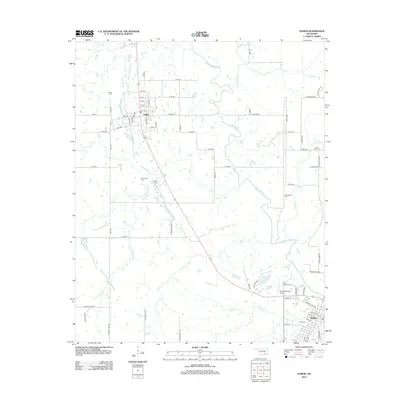
2012 Map of Lehigh
USGS Topo · Published 2012About this map
Lehigh stands as a primary focal point in this southern Oklahoma landscape, where a grid of streets including Main St and Railway St suggests the town's historical foundations. The surrounding terrain is defined by an intricate network of waterways, most notably the meandering Muddy Boggy Cr and its tributaries like French Henry Cr and Coal Cr. This 2012 survey illustrates the intersection of small-town life and municipal infrastructure, anchored by the Atoka Municipal Airport and the nearby shoreline of Atoka Lake.
Find a feature on this map
75 named features on this map. Tap any name to fly to it.
Don’t see what you’re looking for? This feature index may not catch every label — zoom into the map to look around manually.
Map Details
Editions of this 2012 Lehigh Map
This is the sole edition of this map. No revisions or reprints were ever made.
Other maps of this area

1896 · Coalgate
USGS Topo · 1:125,000

1899 · Coalgate
USGS Topo · 1:125,000

1899 · Atoka
USGS Topo · 1:125,000

1900 · Atoka
USGS Topo · 1:125,000

1900 · Coalgate
USGS Topo · 1:125,000

1956 · Stringtown
USGS Topo · 1:24,000

1957 · Coalgate
USGS Topo · 1:24,000

1957 · Lehigh
USGS Topo · 1:24,000

1957 · Coalgate SE
USGS Topo · 1:24,000

1957 · Bruno
USGS Topo · 1:24,000