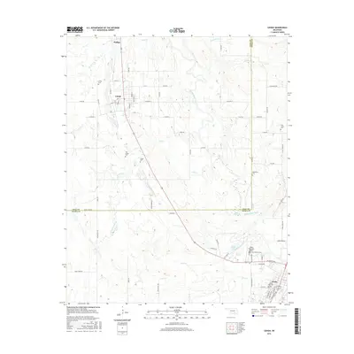
2016 Map of Lehigh
USGS Topo · Published 2016About this map
Lehigh and its northern neighbor Phillips are central features in this Atoka County landscape, which transitions from these northern settlements toward the city of Atoka in the southeast. This 2016 survey documents a territory defined by its water systems, notably Muddy Boggy Creek and its tributaries such as Coal Cr and French Henry Cr. For genealogists and local historians, the abundance of burial sites including Old Lehigh Cem, Coal Creek Cem, and Macedonia Cem provides a clear view of the area's distributed community centers. The southern portion of the map is anchored by Atoka Lake and the Atoka Municipal Airport, showing the intersection of local infrastructure and the natural drainage patterns of Sand Cr.
Find a feature on this map
44 named features on this map. Tap any name to fly to it.
Don’t see what you’re looking for? This feature index may not catch every label — zoom into the map to look around manually.
Map Details
Editions of this 2016 Lehigh Map
This is the sole edition of this map. No revisions or reprints were ever made.
Other maps of this area

1896 · Coalgate
USGS Topo · 1:125,000

1899 · Coalgate
USGS Topo · 1:125,000

1899 · Atoka
USGS Topo · 1:125,000

1900 · Atoka
USGS Topo · 1:125,000

1900 · Coalgate
USGS Topo · 1:125,000

1956 · Stringtown
USGS Topo · 1:24,000

1957 · Coalgate
USGS Topo · 1:24,000

1957 · Lehigh
USGS Topo · 1:24,000

1957 · Coalgate SE
USGS Topo · 1:24,000

1957 · Bruno
USGS Topo · 1:24,000