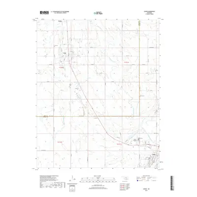
2019 Map of Lehigh
USGS Topo · Published 2019About this map
Lehigh and its neighboring settlements define the landscape of southeastern Oklahoma, situated just north of the Atoka city limits. This survey illustrates the intricate drainage network dominated by Muddy Boggy Creek and its many tributaries, including French Henry Cr and Coal Cr. The area’s history is preserved through its numerous burial grounds, such as Lehigh Cem, the Old Lehigh Cem, and Macedonia Cem, which dot the rural sections between the small communities. The infrastructure of the region is anchored by the Atoka Municipal Airport and a grid of rural roads like Lehigh Rd and Henry Creek Rd. The layout of Lehigh itself, with named streets like Main St and Division St, reflects a transition from its origins as a mining hub to a more dispersed rural community. The map also delineates the boundary between Coal and Atoka Counties, marking a significant political division in this creek-veined territory.
Find a feature on this map
44 named features on this map. Tap any name to fly to it.
Don’t see what you’re looking for? This feature index may not catch every label — zoom into the map to look around manually.
Map Details
Editions of this 2019 Lehigh Map
This is the sole edition of this map. No revisions or reprints were ever made.
Other maps of this area

1896 · Coalgate
USGS Topo · 1:125,000

1899 · Coalgate
USGS Topo · 1:125,000

1899 · Atoka
USGS Topo · 1:125,000

1900 · Atoka
USGS Topo · 1:125,000

1900 · Coalgate
USGS Topo · 1:125,000

1956 · Stringtown
USGS Topo · 1:24,000

1957 · Coalgate
USGS Topo · 1:24,000

1957 · Lehigh
USGS Topo · 1:24,000

1957 · Coalgate SE
USGS Topo · 1:24,000

1957 · Bruno
USGS Topo · 1:24,000