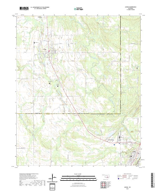
2022 Map of Lehigh
USGS Topo · Published 2022About this map
Atoka serves as a prominent seat of local government, anchored by the Atoka County Courthouse and supported by regional infrastructure like the Atoka Municipal Airport. To the northwest, the settlements of Lehigh and Phillips reflect the area's rural character, connected by a network of section line roads such as Main St and City Lake Rd. The landscape is defined by the winding course of Muddy Boggy Creek and its tributaries, including French Henry Cr and Coal Cr, which dictate the local topography.
Find a feature on this map
65 named features on this map. Tap any name to fly to it.
Don’t see what you’re looking for? This feature index may not catch every label — zoom into the map to look around manually.
Map Details
Editions of this 2022 Lehigh Map
This is the sole edition of this map. No revisions or reprints were ever made.
Other maps of this area

1896 · Coalgate
USGS Topo · 1:125,000

1899 · Coalgate
USGS Topo · 1:125,000

1899 · Atoka
USGS Topo · 1:125,000

1900 · Atoka
USGS Topo · 1:125,000

1900 · Coalgate
USGS Topo · 1:125,000

1956 · Stringtown
USGS Topo · 1:24,000

1957 · Coalgate
USGS Topo · 1:24,000

1957 · Lehigh
USGS Topo · 1:24,000

1957 · Coalgate SE
USGS Topo · 1:24,000

1957 · Bruno
USGS Topo · 1:24,000