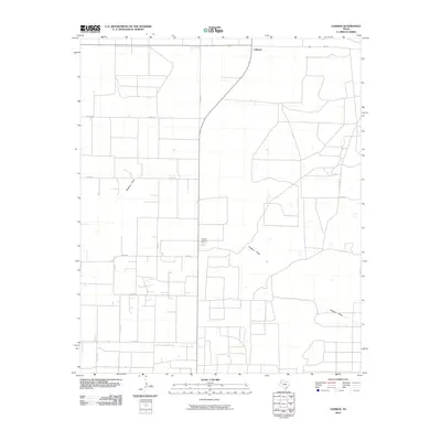
2010 Map of Lehman
USGS Topo · Published 2010About this map
Lehman serves as a focal point for this section of Cochran County, showing the intersection of rural life and West Texas industrial activity. The landscape is characterized by a precise grid of county roads, such as Co Rd 127 and Co Rd 160, which partition the territory into large agricultural blocks. A significant industrial landmark, the Lehman Gasoline Plant, is situated near the center of the sheet, indicating the regional reliance on energy production. Natural drainage is represented by Sulphur Draw, which meanders across the southern and central portions of the quadrangle. This 2010 survey illustrates the developed transportation network of Farm to Market roads, including Fm 1894 and Fm 169, which facilitate movement across this expansive plains environment.
Find a feature on this map
14 named features on this map. Tap any name to fly to it.
Don’t see what you’re looking for? This feature index may not catch every label — zoom into the map to look around manually.
Map Details
Editions of this 2010 Lehman Map
This is the sole edition of this map. No revisions or reprints were ever made.
Other maps of this area

1954 · Brownfield
USGS Topo · 1:250,000

1958 · Brownfield
USGS Topo · 1:250,000

1962 · Brownfield
USGS Topo · 1:250,000

1969 · Lehman
USGS Topo · 1:24,000

1970 · Morton SW
USGS Topo · 1:24,000

1970 · Whiteface SW
USGS Topo · 1:24,000

1970 · Morton NW
USGS Topo · 1:24,000

1970 · Plains 1 NW
USGS Topo · 1:24,000

1971 · Whiteface NW
USGS Topo · 1:24,000

1971 · Schooler Ranch
USGS Topo · 1:24,000