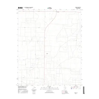
2016 Map of Lehman
USGS Topo · Published 2016About this map
Lehman sits at the intersection of rural thoroughfares in Cochran County, highlighting the organized grid typical of the Texas South Plains. This area is characterized by broad agricultural allotments and intermittent water features, most notably the winding path of Sulphur Draw which meanders across the central landscape. The transport network is a defining element of this region, with State Highway 214 cutting a diagonal path through the township, connecting it to farm-to-market routes like FM 769 and FM 169.
Find a feature on this map
14 named features on this map. Tap any name to fly to it.
Don’t see what you’re looking for? This feature index may not catch every label — zoom into the map to look around manually.
Map Details
Editions of this 2016 Lehman Map
This is the sole edition of this map. No revisions or reprints were ever made.
Other maps of this area

1954 · Brownfield
USGS Topo · 1:250,000

1958 · Brownfield
USGS Topo · 1:250,000

1962 · Brownfield
USGS Topo · 1:250,000

1969 · Lehman
USGS Topo · 1:24,000

1970 · Morton SW
USGS Topo · 1:24,000

1970 · Whiteface SW
USGS Topo · 1:24,000

1970 · Morton NW
USGS Topo · 1:24,000

1970 · Plains 1 NW
USGS Topo · 1:24,000

1971 · Whiteface NW
USGS Topo · 1:24,000

1971 · Schooler Ranch
USGS Topo · 1:24,000