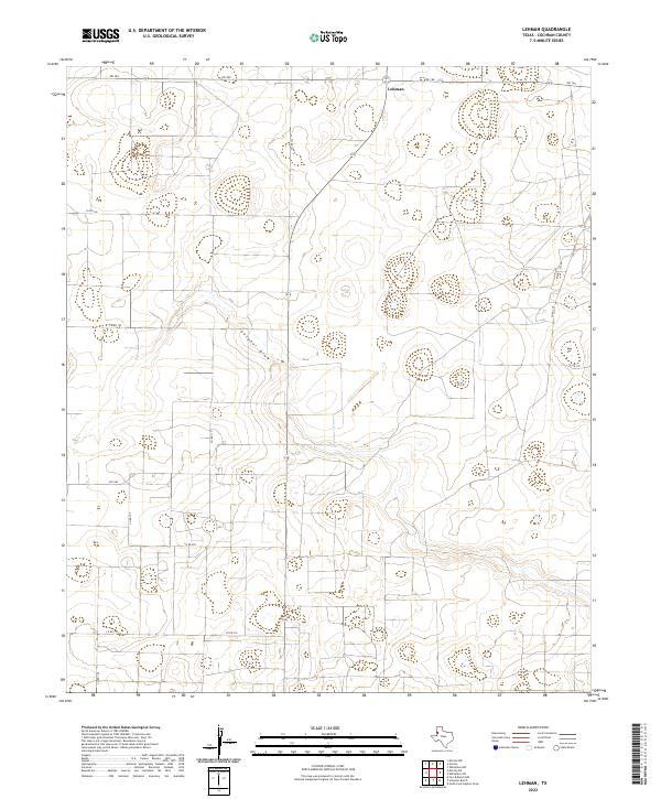
2022 Map of Lehman
USGS Topo · Published 2022About this map
Lehman serves as the primary focal point of this Cochran County landscape, situated amidst the expansive, low-relief terrain of the Texas South Plains. The area is characterized by a high-density grid of agricultural roads, such as Co Rd 210 and Co Rd 127, which underscore the region's intensive land use and rural settlement patterns. The most prominent natural drainage feature, Sulphur Draw, meanders across the central portion of the map, providing a glimpse into the local hydrology of this semi-arid environment. Key transportation corridors including Fm 769 and Fm 169 provide essential connections between the dispersed farmsteads and the central community of Lehman.
Find a feature on this map
14 named features on this map. Tap any name to fly to it.
Don’t see what you’re looking for? This feature index may not catch every label — zoom into the map to look around manually.
Map Details
Editions of this 2022 Lehman Map
This is the sole edition of this map. No revisions or reprints were ever made.
Other maps of this area

1954 · Brownfield
USGS Topo · 1:250,000

1958 · Brownfield
USGS Topo · 1:250,000

1962 · Brownfield
USGS Topo · 1:250,000

1969 · Lehman
USGS Topo · 1:24,000

1970 · Morton SW
USGS Topo · 1:24,000

1970 · Whiteface SW
USGS Topo · 1:24,000

1970 · Morton NW
USGS Topo · 1:24,000

1970 · Plains 1 NW
USGS Topo · 1:24,000

1971 · Whiteface NW
USGS Topo · 1:24,000

1971 · Schooler Ranch
USGS Topo · 1:24,000