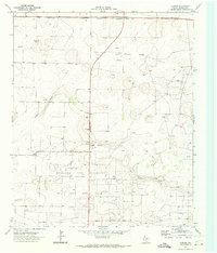
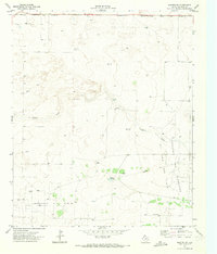
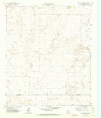
1969 Map of Lehman
USGS Topo · Published 1973This historical map portrays the area of Lehman in 1969, primarily covering Cochran County. Featuring a scale of 1:24000, this map provides a highly detailed snapshot of the terrain, roads, buildings, counties, and historical landmarks in the Lehman region at the time. Published in 1973, it is the sole known edition of this map.
Find a feature on this map
9 named features on this map. Tap any name to fly to it.
Don’t see what you’re looking for? This feature index may not catch every label — zoom into the map to look around manually.
Map Details
Editions of this 1969 Lehman Map
This is the sole edition of this map. No revisions or reprints were ever made.
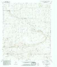
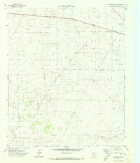
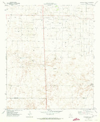
Historical Maps of Lehman Through Time
11 maps found
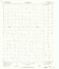
1969 Enochs
Cochran County, TX
1969 Lehman
Cochran County, TX
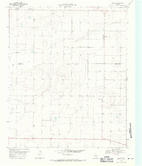
1969 Maple
Cochran County, TX
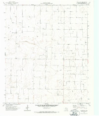
1970 Morton NW
Cochran County, TX
1970 Morton SW
Cochran County, TX
1970 South Fork Sulphur Draw
Cochran County, TX
1970 Whiteface SW
Cochran County, TX
1971 Schooler Ranch
Cochran County, TX
1971 Two B Ranch NW
Cochran County, TX
1971 Whiteface NW
Cochran County, TX
1974 County Line
Cochran County, TX