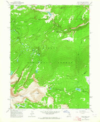
1963 Map of Leidy Peak
USGS Topo · Published 1964About this map
Ashley National Forest dominates this 1963 survey, revealing a high-altitude landscape of the Uinta Mountains at the border of Daggett and Uintah counties. The geography is defined by the headwaters of several major drainages, including the West Fork Carter Creek and the North Fork Ashley Creek. Rising above the basins is Leidy Peak, a prominent landmark that sits near the Ashley Lakeshore Basin.
Find a feature on this map
35 named features on this map. Tap any name to fly to it.
Don’t see what you’re looking for? This feature index may not catch every label — zoom into the map to look around manually.
Map Details
Editions of this 1963 Leidy Peak Map
2 editions found
Other maps of this area

1885 · Ashley
USGS Topo · 1:250,000

1906 · Marsh Peak
USGS Topo · 1:125,000

1908 · Marsh Peak
USGS Topo · 1:125,000

1954 · Vernal
USGS Topo · 1:250,000

1958 · Vernal
USGS Topo · 1:250,000

1960 · Vernal
USGS Topo · 1:250,000
1963 · Whiterocks Lake
USGS Topo · 1:24,000
1963 · Manila
USGS Topo · 1:24,000
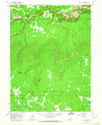
1963 · Elk Park
USGS Topo · 1:24,000
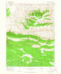
1963 · Phil Pico Mtn
USGS Topo · 1:24,000