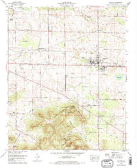
1971 Map of Leighton
USGS Topo · Published 1973About this map
Leighton serves as the focal point of this 1970s survey, situated along the Southern railroad line in eastern Colbert County. The landscape transitions from the flatlands of Abernathy Bottom and Gum Bottom in the north to the rising elevation of La Grange Mountain in the south. This southern ridge is a site of significant local heritage, marked by the La Grange College Monument and College Spring, denoting the site of Alabama's first chartered college.
Find a feature on this map
68 named features on this map. Tap any name to fly to it.
Don’t see what you’re looking for? This feature index may not catch every label — zoom into the map to look around manually.
Map Details
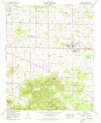
Editions of this 1971 Leighton Map
2 editions found
Other maps of this area

1914 · Rogersville
USGS Topo · 1:48,000

1914 · Muscle Shoals
USGS Topo · 1:48,000

1916 · Muscle Shoals
USGS Topo · 1:62,500

1916 · Rogersville
USGS Topo · 1:62,500

1924 · Tuscumbia
USGS Topo · 1:48,000

1926 · Tuscumbia
USGS Topo · 1:62,500

1936 · Russellville
USGS Topo · 1:24,000

1936 · Wheeler Dam
USGS Topo · 1:24,000

1936 · Florence
USGS Topo · 1:24,000

1936 · Town Creek
USGS Topo · 1:24,000