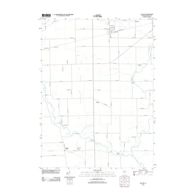
2012 Map of Leland
USGS Topo · Published 2012About this map
Indian Cr and Little Indian Cr carve winding paths through the agricultural landscape of northern LaSalle County, defining the drainage patterns around the village of Leland. The map illustrates a rural Illinois section where small settlements like Baker and Harding serve as local anchors. Family history and local heritage are well-preserved through several burial grounds, including the Pierce Family Cem and Saint Clara Catholic Cem, while the agrarian character is punctuated by private aviation sites like Humm Airport and Cody Port RLA Airport. This survey provides a clear view of the transition from traditional rail-corridor towns to a modern network of rural roads such as N 47th Rd and Co Hwy 22.
Find a feature on this map
59 named features on this map. Tap any name to fly to it.
Don’t see what you’re looking for? This feature index may not catch every label — zoom into the map to look around manually.
Map Details
Editions of this 2012 Leland Map
This is the sole edition of this map. No revisions or reprints were ever made.
Other maps of this area

1892 · Marseilles
USGS Topo · 1:62,500

1892 · Ottawa
USGS Topo · 1:62,500

1915 · Ottawa
USGS Topo · 1:62,500

1916 · Marseilles
USGS Topo · 1:62,500

1940 · Marseilles
USGS Topo · 1:62,500

1946 · Ottawa
USGS Topo · 1:62,500

1948 · Sandwich
USGS Topo · 1:62,500

1950 · Sandwich
USGS Topo · 1:62,500

1951 · Earlville
USGS Topo · 1:62,500

1958 · Aurora
USGS Topo · 1:250,000