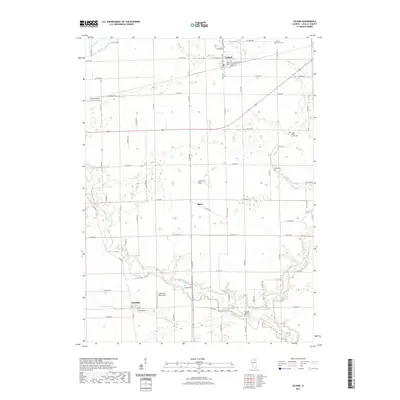
2021 Map of Leland
USGS Topo · Published 2021About this map
Indian Creek and its southern tributaries wind through this section of LaSalle County, framing a landscape defined by small-town settlements and rural cemeteries. The village of Leland serves as a primary hub in the north, while smaller locales like Baker and Harding anchor the central and southern reaches. Local history and genealogy are well-represented by numerous family and community burial sites, including Saint Clara Cem, Pierce Cem, and Pleasant Hill Cem, which are scattered throughout the agricultural parcels.
Find a feature on this map
56 named features on this map. Tap any name to fly to it.
Don’t see what you’re looking for? This feature index may not catch every label — zoom into the map to look around manually.
Map Details
Editions of this 2021 Leland Map
This is the sole edition of this map. No revisions or reprints were ever made.
Other maps of this area

1892 · Marseilles
USGS Topo · 1:62,500

1892 · Ottawa
USGS Topo · 1:62,500

1915 · Ottawa
USGS Topo · 1:62,500

1916 · Marseilles
USGS Topo · 1:62,500

1940 · Marseilles
USGS Topo · 1:62,500

1946 · Ottawa
USGS Topo · 1:62,500

1948 · Sandwich
USGS Topo · 1:62,500

1950 · Sandwich
USGS Topo · 1:62,500

1951 · Earlville
USGS Topo · 1:62,500

1958 · Aurora
USGS Topo · 1:250,000