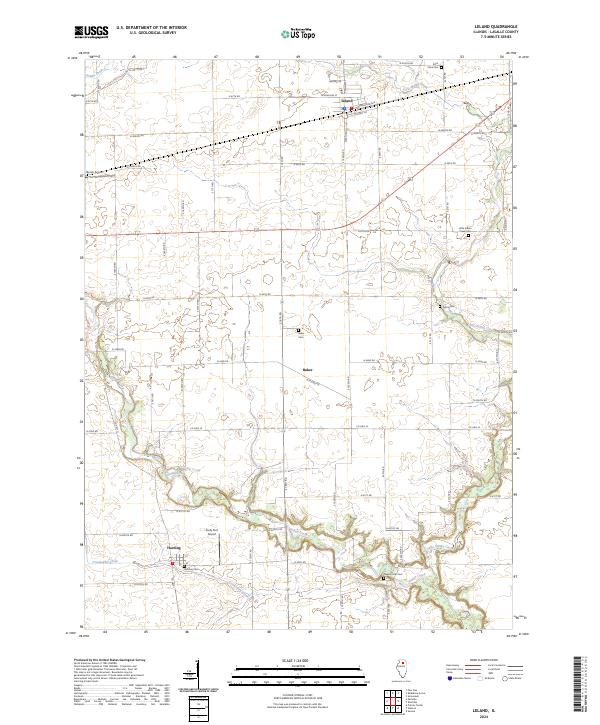
2024 Map of Leland
USGS Topo · Published 2024About this map
Leland anchors the northern reaches of this LaSalle County landscape, where the grain-belt tradition is etched into a grid of section roads and small-town centers. The village is defined by its transit roots along E Railroad Ave and N Main St, serving as a hub for the surrounding agricultural prairie. To the south, the terrain becomes more varied as Indian Creek and Little Indian Creek wind through the township, carving deeper channels into the earth and creating a natural break from the rectilinear farm fields. Local heritage is preserved in a high density of rural burial grounds, including the historic Saint Clara Cem and Pierce Cem. The settlements of Baker and Harding represent the long-standing community nodes of the area, while local aviation is represented by private facilities like Humm Airport and Cody Port Airport.
Find a feature on this map
57 named features on this map. Tap any name to fly to it.
Don’t see what you’re looking for? This feature index may not catch every label — zoom into the map to look around manually.
Map Details
Editions of this 2024 Leland Map
This is the sole edition of this map. No revisions or reprints were ever made.
Other maps of this area

1892 · Marseilles
USGS Topo · 1:62,500

1892 · Ottawa
USGS Topo · 1:62,500

1915 · Ottawa
USGS Topo · 1:62,500

1916 · Marseilles
USGS Topo · 1:62,500

1940 · Marseilles
USGS Topo · 1:62,500

1946 · Ottawa
USGS Topo · 1:62,500

1948 · Sandwich
USGS Topo · 1:62,500

1950 · Sandwich
USGS Topo · 1:62,500

1951 · Earlville
USGS Topo · 1:62,500

1958 · Aurora
USGS Topo · 1:250,000