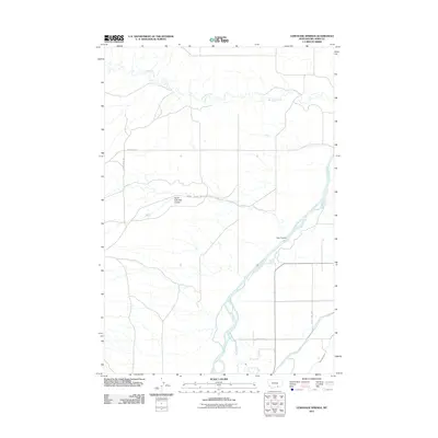
2011 Map of Lemonade Springs
USGS Topo · Published 2011About this map
The Bighorn River cuts a wide path through this Big Horn County landscape, accompanied by an intricate network of irrigation infrastructure designed to harness its waters for the surrounding terrain. The Big Horn Canal and the Soap Creek Ditch run parallel to the river and its tributaries, reflecting the critical role of water management in this portion of Montana. The topography is defined by significant drainage features including Hay Coulee and South Fork Hay Coulee, which channel runoff toward the main river valley.
Find a feature on this map
11 named features on this map. Tap any name to fly to it.
Don’t see what you’re looking for? This feature index may not catch every label — zoom into the map to look around manually.
Map Details
Editions of this 2011 Lemonade Springs Map
This is the sole edition of this map. No revisions or reprints were ever made.
Other maps of this area

1894 · St. Xavier
USGS Topo · 1:125,000

1894 · Fort Custer
USGS Topo · 1:125,000

1901 · St. Xavier
USGS Topo · 1:125,000

1915 · Spenceville
USGS Topo · 1:31,680

1954 · Hardin
USGS Topo · 1:250,000

1957 · Hardin
USGS Topo · 1:250,000

1958 · Hardin
USGS Topo · 1:250,000

1960 · St Xavier
USGS Topo · 1:24,000

1960 · Mission Coulee
USGS Topo · 1:24,000

1960 · Hardin SW
USGS Topo · 1:24,000