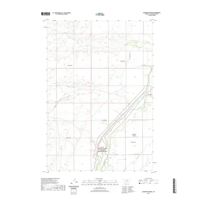
2020 Map of Lemonade Springs
USGS Topo · Published 2020About this map
The Bighorn River corridor dominates this section of Big Horn County, where the valley floor transitions into the protected lands of the Bighorn Canyon National Recreation Area. The landscape is defined by its water management systems, including the Big Horn Canal and Soap Cr Ditch, which support ranching operations like the one served by the Pale Morning Dun Ranch Airport. Higher elevations are carved by drainage systems such as Beauvais Cr and Hay Coulee, while Lemonade Springs provides a localized water source in an otherwise arid terrain.
Find a feature on this map
18 named features on this map. Tap any name to fly to it.
Don’t see what you’re looking for? This feature index may not catch every label — zoom into the map to look around manually.
Map Details
Editions of this 2020 Lemonade Springs Map
This is the sole edition of this map. No revisions or reprints were ever made.
Other maps of this area

1894 · St. Xavier
USGS Topo · 1:125,000

1894 · Fort Custer
USGS Topo · 1:125,000

1901 · St. Xavier
USGS Topo · 1:125,000

1915 · Spenceville
USGS Topo · 1:31,680

1954 · Hardin
USGS Topo · 1:250,000

1957 · Hardin
USGS Topo · 1:250,000

1958 · Hardin
USGS Topo · 1:250,000

1960 · St Xavier
USGS Topo · 1:24,000

1960 · Mission Coulee
USGS Topo · 1:24,000

1960 · Hardin SW
USGS Topo · 1:24,000