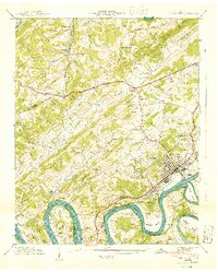
1940 Map of Lenoir City
USGS Topo · Published 1940About this map
Watts Bar Reservoir dominates the southern landscape of this 1940 survey, reflecting the massive hydrological changes brought to the Tennessee River by the Tennessee Valley Authority. The river's winding course is marked by traditional crossings like Bussell Ferry and Hall Ferry, which appear alongside emerging industrial markers like the Rock Quarry Bar. The transition from old rural networks to modern thoroughfares is evident as the Old Walton Road and the Broadway of America intersect the terrain near Eaton Crossroad.
Find a feature on this map
72 named features on this map. Tap any name to fly to it.
Don’t see what you’re looking for? This feature index may not catch every label — zoom into the map to look around manually.
Map Details
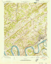
Editions of this 1940 Lenoir City Map
2 editions found
Other maps of this area

1895 · Loudon
USGS Topo · 1:125,000

1935 · Meadow
USGS Topo · 1:24,000

1935 · Lenoir City
USGS Topo · 1:24,000

1935 · Elverton
USGS Topo · 1:24,000

1935 · Bethel Valley
USGS Topo · 1:24,000

1935 · Philadelphia
USGS Topo · 1:24,000

1935 · Lovell
USGS Topo · 1:24,000

1936 · Cave Creek
USGS Topo · 1:24,000

1936 · Friendship
USGS Topo · 1:48,000

1936 · Loudon
USGS Topo · 1:24,000