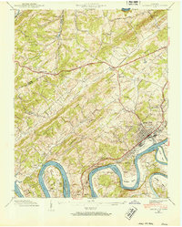
1940 Map of Lenoir City
USGS Topo · Published 1952About this map
Lenoir City serves as the focal point of this 1940 field examination, situated at the confluence of the Tennessee River and the Little Tennessee River. The landscape is dominated by the newly formed Watts Bar Reservoir, where the rising waters frame a series of distinctive landforms like Browder Bend and Harrison Bend. The area reflects a transition from traditional river-based life to a more modern infrastructure, with the Broadway of America and the Southern railroad providing critical transport links through the ridges.
Find a feature on this map
69 named features on this map. Tap any name to fly to it.
Don’t see what you’re looking for? This feature index may not catch every label — zoom into the map to look around manually.
Map Details
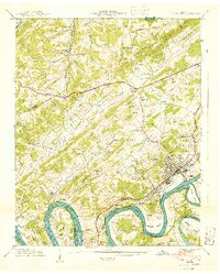
Editions of this 1940 Lenoir City Map
2 editions found
Other maps of this area

1895 · Loudon
USGS Topo · 1:125,000

1935 · Meadow
USGS Topo · 1:24,000

1935 · Lenoir City
USGS Topo · 1:24,000

1935 · Elverton
USGS Topo · 1:24,000

1935 · Bethel Valley
USGS Topo · 1:24,000

1935 · Philadelphia
USGS Topo · 1:24,000

1935 · Lovell
USGS Topo · 1:24,000

1936 · Cave Creek
USGS Topo · 1:24,000

1936 · Friendship
USGS Topo · 1:48,000

1936 · Loudon
USGS Topo · 1:24,000