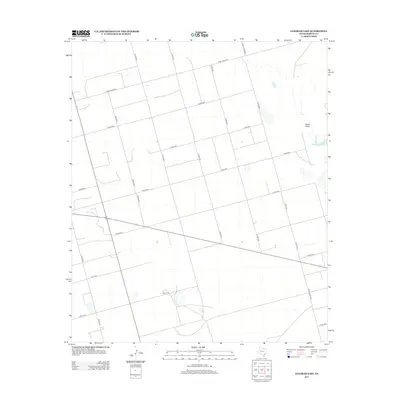
2012 Map of Lenorah East
USGS Topo · Published 2012About this map
The arid landscape of Death Valley in Martin County is defined by a dense network of ranch and county roads that carve through the Texas high plains. This 2012 survey documents the region's agricultural and ranching infrastructure, organized around a rigid grid of transit corridors. Significant routes like Ranch Road 846 and Ranch Road 3033 facilitate movement between scattered homesteads and seasonal water basins. The layout of localized thoroughfares, including Co Rd-3601 and Co Rd-3500, reflects the systematic land division characteristic of West Texas. Researchers can observe the subtle depression of the terrain and the proximity of these roads to natural catchment areas, providing a detailed look at how the modern ranching economy utilizes this specific corner of the Llano Estacado.
Find a feature on this map
19 named features on this map. Tap any name to fly to it.
Don’t see what you’re looking for? This feature index may not catch every label — zoom into the map to look around manually.
Map Details
Editions of this 2012 Lenorah East Map
This is the sole edition of this map. No revisions or reprints were ever made.
Other maps of this area

1941 · Morita
USGS Topo · 1:62,500

1949 · Morita
USGS Topo · 1:62,500

1954 · Big Spring
USGS Topo · 1:250,000

1958 · Big Spring
USGS Topo · 1:250,000

1966 · Knott
USGS Topo · 1:24,000

1966 · Merrick
USGS Topo · 1:24,000

1966 · Lenorah West
USGS Topo · 1:24,000

1966 · Flower Grove
USGS Topo · 1:24,000

1966 · Natural Dam Lake
USGS Topo · 1:24,000

1966 · Stanton
USGS Topo · 1:24,000