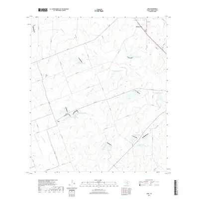
2019 Map of Lenz
USGS Topo · Published 2019About this map
Karnes City stands as a primary hub of commerce and transit in this South Texas landscape, defined by a complex network of farm-to-market roads and county routes. The terrain is characterized by a series of engineered water management features, including Soil Conservation Service Site 8 Reservoir and Soil Conservation Service Site 12 Reservoir, which highlight the region's historical reliance on agricultural conservation. These man-made structures are integrated into the natural drainage basins of Escondido Creek and Olmos Creek, where seasonal watercourses like Doe Branch and Bucker Creek carve through the countryside.
Find a feature on this map
54 named features on this map. Tap any name to fly to it.
Don’t see what you’re looking for? This feature index may not catch every label — zoom into the map to look around manually.
Map Details
Editions of this 2019 Lenz Map
This is the sole edition of this map. No revisions or reprints were ever made.
Other maps of this area

1925 · Tordia No. 1
USGS Topo · 1:48,000

1931 · Falls City
USGS Topo · 1:62,500

1936 · Pettus
USGS Topo · 1:62,500

1953 · Crystal City
USGS Topo · 1:250,000

1953 · Beeville
USGS Topo · 1:250,000

1955 · Crystal City
USGS Topo · 1:250,000

1956 · Suniland
USGS Topo · 1:62,500

1956 · Beeville
USGS Topo · 1:250,000

1956 · Pettus
USGS Topo · 1:62,500

1956 · Karnes City
USGS Topo · 1:62,500