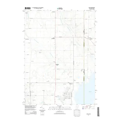
2013 Map of Leon
USGS Topo · Published 2013About this map
Agricultural lands and the headwaters of the Ashtabula River define this border region between Ohio and Pennsylvania. The drainage of the West Br Ashtabula River and East Br Ashtabula River creates a landscape of rolling terrain and scattered family farms, including named properties such as Skyview Farm, Sharpe Farm, and Woodard Farms. Small historic settlements like Richmond Center, North Richmond, and Leon are interconnected by a grid of rural roads, while the southeastern corner is dominated by the northern reaches of the Pymatuning Reservoir.
Find a feature on this map
62 named features on this map. Tap any name to fly to it.
Don’t see what you’re looking for? This feature index may not catch every label — zoom into the map to look around manually.
Map Details
Editions of this 2013 Leon Map
This is the sole edition of this map. No revisions or reprints were ever made.
Other maps of this area

1900 · Girard
USGS Topo · 1:62,500

1905 · Andover
USGS Topo · 1:48,000

1906 · Conneaut
USGS Topo · 1:62,500

1906 · Linesville
USGS Topo · 1:62,500

1907 · Andover
USGS Topo · 1:62,500

1908 · Linesville
USGS Topo · 1:62,500

1950 · Cleveland
USGS Topo · 1:250,000

1956 · Cleveland
USGS Topo · 1:250,000

1959 · Hartstown
USGS Topo · 1:24,000

1959 · Beaver Center
USGS Topo · 1:24,000