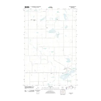
2010 Map of Leonard
USGS Topo · Published 2010About this map
Leonard serves as the primary community hub for this area of Clearwater County, where the Leonard Post Office stands near the intersection of several county roads. The landscape is defined by an intricate network of water bodies, including the uniquely named East Four Legged Lake and West Four Legged Lake, which are part of a larger system of glacial lakes and wetlands. These waters are connected by the Clearwater River and the winding course of Ruffy Brook, which meanders through the central and western portions of the quadrangle.
Find a feature on this map
42 named features on this map. Tap any name to fly to it.
Don’t see what you’re looking for? This feature index may not catch every label — zoom into the map to look around manually.
Map Details
Editions of this 2010 Leonard Map
This is the sole edition of this map. No revisions or reprints were ever made.
Other maps of this area

1919 · Solway
USGS Topo · 1:62,500

1919 · Churnes
USGS Topo · 1:62,500

1943 · Solway
USGS Topo · 1:62,500

1943 · Bagley
USGS Topo · 1:62,500

1954 · Bemidji
USGS Topo · 1:250,000

1957 · Bemidji
USGS Topo · 1:250,000

1958 · Bemidji
USGS Topo · 1:250,000

1969 · Clearbrook
USGS Topo · 1:24,000

1969 · Leonard
USGS Topo · 1:24,000
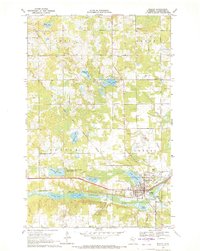
1969 · Bagley
USGS Topo · 1:24,000