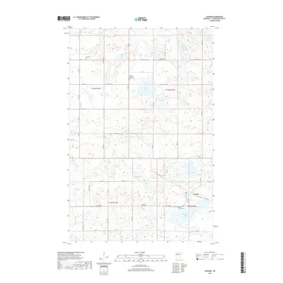
2019 Map of Leonard
USGS Topo · Published 2019About this map
Leonard serves as the primary settlement on this northern Minnesota sheet, situated amidst a dense network of glacial lakes and wetlands in Clearwater County. The landscape is defined by its numerous water bodies, ranging from the sizeable West Four Legged Lake in the south to Johnson Lake and Spike Lake further north. The Clearwater River and Ruffy Brook provide the primary drainage through this low-lying terrain, which is intersected by a grid of local township and county roads such as Leonard Rd and Co Hwy 4.
Find a feature on this map
48 named features on this map. Tap any name to fly to it.
Don’t see what you’re looking for? This feature index may not catch every label — zoom into the map to look around manually.
Map Details
Editions of this 2019 Leonard Map
This is the sole edition of this map. No revisions or reprints were ever made.
Other maps of this area

1919 · Solway
USGS Topo · 1:62,500

1919 · Churnes
USGS Topo · 1:62,500

1943 · Solway
USGS Topo · 1:62,500

1943 · Bagley
USGS Topo · 1:62,500

1954 · Bemidji
USGS Topo · 1:250,000

1957 · Bemidji
USGS Topo · 1:250,000

1958 · Bemidji
USGS Topo · 1:250,000

1969 · Clearbrook
USGS Topo · 1:24,000

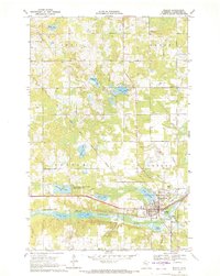
1969 · Leonard
USGS Topo · 1:24,000
1969 · Bagley
USGS Topo · 1:24,000